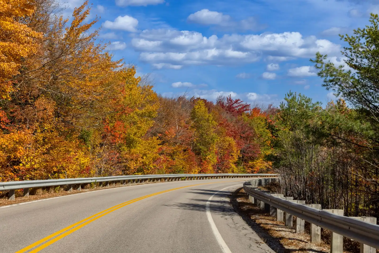
A Kancamagus Highway road trip is 34.5 miles of New Hampshire's White Mountain National Forest, climbing from river valley to alpine pass and back down again without a single gas station, traffic light, or billboard along the way. Locals just call it "the Kanc." It's the centerpiece of a longer loop, too — the White Mountains Trail, a signed 100-mile circuit that adds Franconia Notch and Crawford Notch to the same day. Here's how the Kancamagus breaks down mile by mile, how it stitches into the full loop, the fall-foliage timing case that makes this one of New England's best-known drives, and the fuel and fee logistics the postcard shots skip.
The Kancamagus Highway, in four decisions
- Fill the tank first — there are no services of any kind for about 32 of the highway's 34.5 miles between Lincoln and Conway.
- Time it for early-to-mid October if foliage is the goal — the pass at the highway's high point turns nearly two weeks before the valleys at either end do.
- Consider the full 100-mile loop — the Kancamagus is one leg of the signed White Mountains Trail, which also takes in Franconia Notch and Crawford Notch.
- Budget a half day for the Kanc alone, two to four for the full loop with stops — the drive itself takes about an hour with no stops, which misses the entire point.
What the Kancamagus Highway actually is
The Kancamagus Highway is New Hampshire Route 112, running 34.5 miles east-west through the heart of the White Mountain National Forest between Lincoln (at the west end, near I-93) and Conway (at the east end, near Route 16). It was the first road in the Northeast designated a National Scenic Byway, and it earns the label without a coastline or a canyon: dense hardwood forest, granite gorges, and a high pass that tops out around 2,855 feet at the C.L. Graham Wangan Ground overlook, with a long view north into the Pemigewasset Wilderness. The road is named for Kancamagus, a 17th-century Pennacook sachem who led his people through this region.
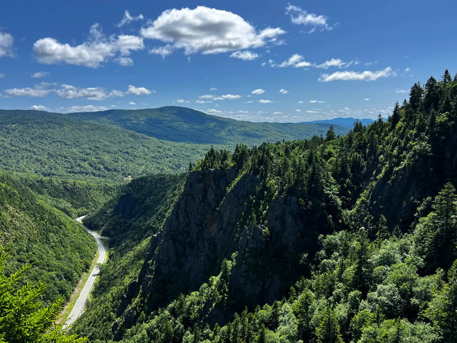
A Kancamagus Highway road trip has no entrance fee and crosses no park boundary — Route 112 is a public state highway through federal forest land, open year-round. The tradeoff is that almost nothing along it is built up: no towns, no restaurants, and only a scatter of vault toilets and picnic areas. That emptiness is exactly what people are driving out here for.
The 34.5 miles: stops worth the pull-off
Driven end to end, the Kancamagus reads as one long climb-and-descend through second-growth forest along the Swift River and the Saco River, with a short run of true alpine scenery around the pass in the middle. There's no wrong direction — starting in Lincoln means the climb builds gradually toward the payoff at the top; starting in Conway front-loads the drama and lets the drive relax on the way down. A shortlist of the stops that earn the time:
| Stop | What it is |
|---|---|
| Lincoln Woods Trailhead (west end) | Gateway to the Pemigewasset Wilderness; an easy, flat trail along a former logging railroad grade for a short leg-stretch or a longer hike |
| Sabbaday Falls | A 45-foot, multi-tiered cascade through a narrow granite flume, reached by about a 10-minute walk from the parking area — one of the most-visited stops on the whole route |
| C.L. Graham Wangan Ground overlook | The highway's high point, around 2,855 feet, with the widest view on the drive north over the Pemigewasset Wilderness |
| Rocky Gorge & Falls Pond | The Swift River narrows into a small gorge; a short path crosses a footbridge to a quiet pond popular for a picnic stop |
| Lower Falls | Broad granite ledges the Swift River slides over — the highway's best-known summer swimming hole |
| Russell-Colbath Homestead | A preserved 19th-century farmstead near the east end, with an easy interpretive walk |
Most of these are five-minute-walk stops, which is the honest math behind a road that "only" takes an hour without stopping: budget half a day to actually see it.
Turning it into the full 100-mile White Mountains loop
The White Mountains Trail is the natural extension of a Kancamagus Highway road trip: a signed, roughly 100-mile National Scenic Byway loop that starts and ends near North Woodstock and strings together three of the region's classic mountain passes, including the Kancamagus itself. Drivers with only a few hours drive the Kanc and turn around; the better version, if you have the day, follows the full loop. From North Woodstock, the loop runs north on Route 3 through Franconia Notch, follows I-93's Franconia Notch Parkway — a rare stretch of two-lane Interstate, narrowed through the notch by special act of Congress to avoid blasting a wider cut through the mountain — then continues to Twin Mountain, east on Route 302 through Crawford Notch and the Mount Washington Valley, south on Route 16 through North Conway and Conway, and finally back west on Route 112 over the Kancamagus to close the loop.
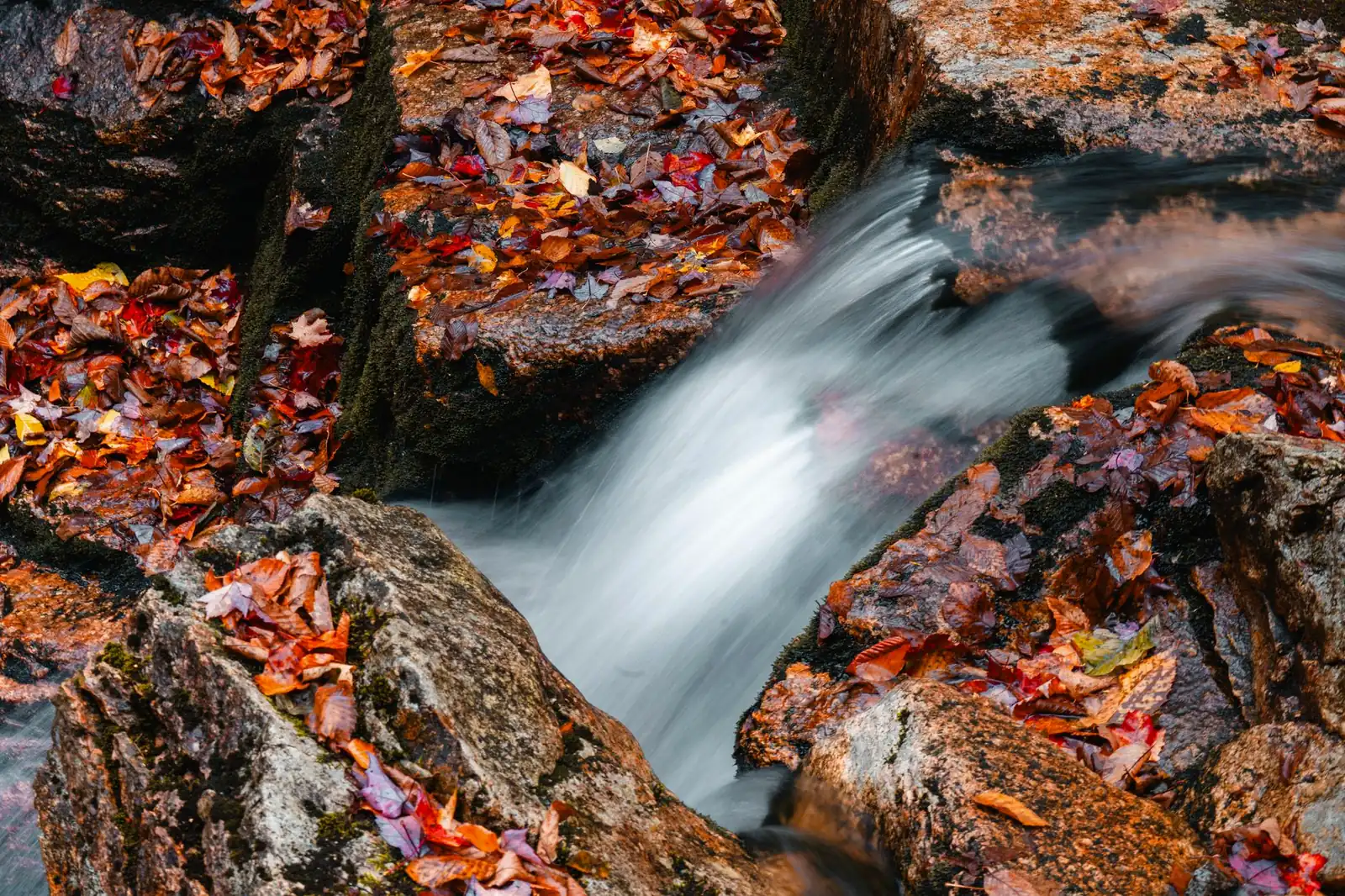
Each notch has its own personality. Franconia Notch is the built-up one, with Flume Gorge's boardwalk trail through a granite chasm and the Cannon Mountain Aerial Tramway for a summit view without the hike. Crawford Notch is quieter and steeper-walled, with roadside waterfalls (Arethusa Falls's trailhead is the tallest in the state) visible from pull-offs on Route 302. The Kancamagus, closing the loop, is the wildest and least developed of the three. Route 16 between the notches through North Conway is the loop's one commercial stretch — outlet shopping, the Conway Scenic Railroad, and the jumping-off point for a Mount Washington Auto Road or Cog Railway side trip if you want to add a fourth peak to the day.
When to drive the Kancamagus: the foliage case, and the rest of the year
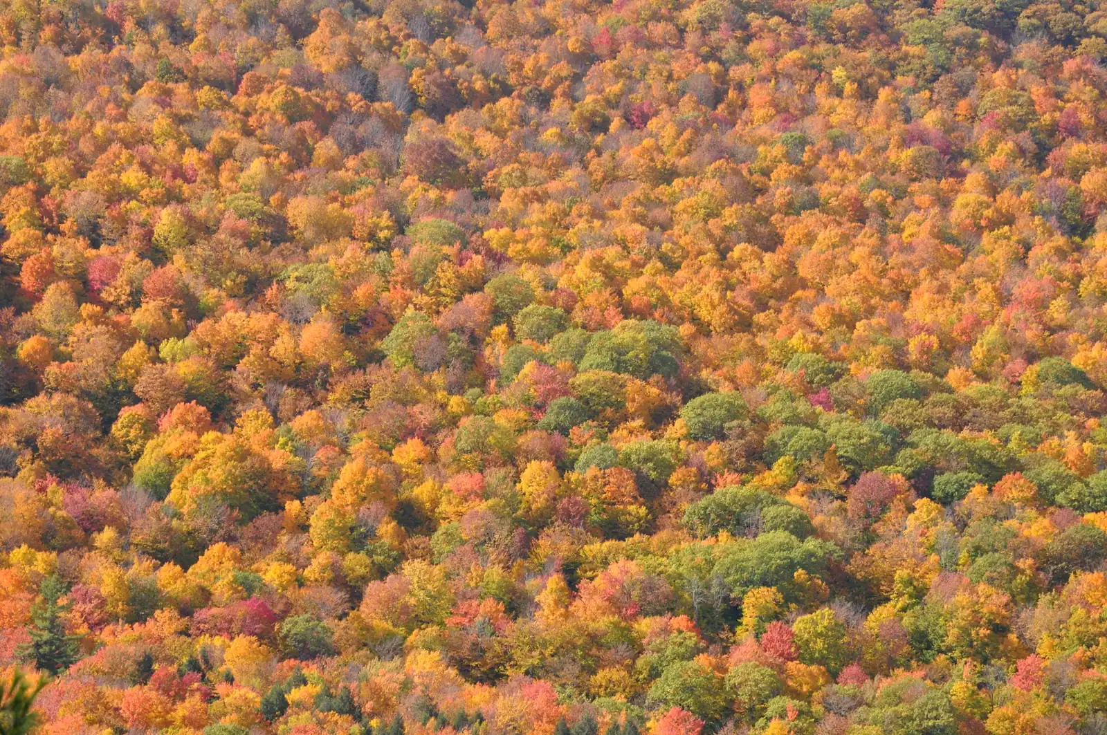
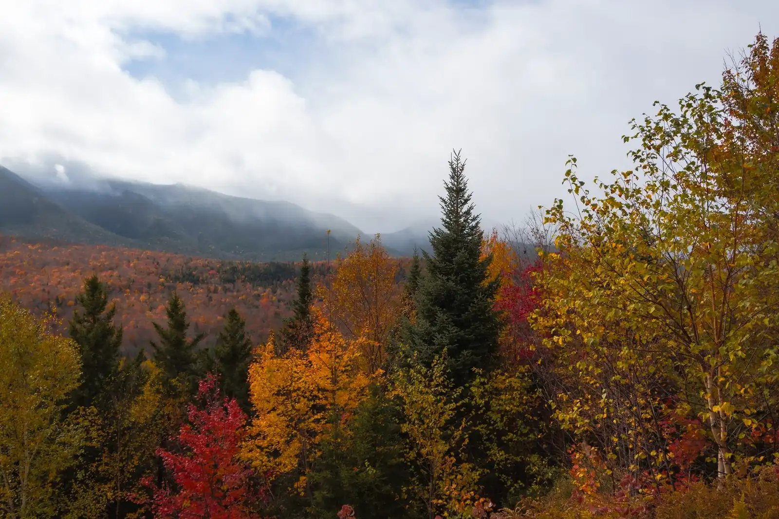
Fall is why most people book this drive, and the timing has a wrinkle worth planning around: because the highway spans roughly 1,500 feet of elevation change, it doesn't turn all at once. The high pass near the middle typically peaks first, in late September, often looking bare or even snow-dusted by the time the lower river valleys near Lincoln and Conway hit their own peak up to two weeks later. That spread — rather than a single narrow weekend — is the Kancamagus's real advantage over a lot of famous foliage drives: if you miss peak at one elevation, the other end of the road may still be turning. In most years the broadest color window across the whole route falls in the first two weeks of October, with the display fading toward brown by the back half of the month — but leaf timing shifts with the specific year's weather, so treat any calendar date as a planning estimate, not a booking guarantee, and check a current-year foliage tracker the week you go rather than locking dates months out.
The Kanc stays open through winter — it's plowed, not gated — but conditions at the pass can be genuinely wintry while the valleys on either end are merely cold; slow down for ice at elevation regardless of what the trailhead parking lot looks like. Summer brings the warmest hiking and the Lower Falls swimming crowds, and spring is quiet, muddy, and a good time to see the waterfalls running highest off snowmelt.
How many days a Kancamagus / White Mountains trip needs
A Kancamagus Highway road trip on its own is a half-day done properly, or an easy add-on to a longer White Mountains stay. The full 100-mile loop is drivable in one long day, but it's a better multi-day trip once you start adding hikes, Flume Gorge, and a side trip to Mount Washington:
| Plan | What it buys |
|---|---|
| Half day | The Kancamagus end to end with its short-walk stops — Sabbaday Falls, the Wangan Ground overlook, Rocky Gorge |
| One day | The full 100-mile White Mountains Trail loop — all three notches, without a real hike or a summit side trip |
| Two to three days | The loop plus Flume Gorge, one real hike (Lincoln Woods or an Arethusa Falls trail off Crawford Notch), and time in North Conway |
| Four-plus days | All of the above, plus a full day for the Mount Washington Auto Road or Cog Railway and a lodging base to actually settle into |
The daily-drive-time math here is unusually generous — the whole loop is under three hours of pure driving — so the constraint is never mileage, it's how many trailheads and overlooks you're willing to stop at. Building in slack for that is the same lesson as our general road-trip planning guide: a slower, more scenic road eats more of the day per mile than the odometer suggests.
Fuel, fees, and the practical layer
Fuel: fill up before you get on the Kanc
There are no gas stations, and no restaurants, for roughly 32 of the highway's 34.5 miles. Lincoln and North Woodstock anchor the west end, Conway and North Conway anchor the east; top off at whichever end you start from and treat the drive itself as a no-services stretch — the same rule that governs the Blue Ridge Parkway and other ridge roads with nothing built along them.
Recreation passes: not for driving through, but for parking
There's no fee to drive the Kancamagus or the wider White Mountains Trail loop. A White Mountain National Forest recreation pass is required, though, to park at the highway's developed day-use sites — the falls, the overlooks, the picnic areas — rather than to use the road itself. Per the Forest Service's authorized pass vendor (checked August 2026), an annual pass runs $30 for one vehicle and $40 for a household covering two; confirm current pricing before you go, since forest fee schedules do change. Franconia Notch's Flume Gorge is a separate paid attraction inside the state park system, not part of the National Forest pass — per the New Hampshire State Parks' own Flume Gorge page (checked August 2026), 2026 admission runs $18 adult / $16 child (ages 6–12) online, a few dollars more at the ticket window, with the gorge trail open seasonally from early May through late October.
Camping and cell coverage
White Mountain National Forest has two dozen-plus drive-in campgrounds scattered through the region, some reservable through Recreation.gov and some first-come, first-served; foliage weekends fill both kinds fast, so the booking-window habits from our general road-trip planning guide apply here too. Cell service is patchy to nonexistent through the notches — download offline maps and don't count on a signal to check foliage reports or campsite availability once you're on the road.
Kancamagus Highway FAQ
How long does it take to drive the Kancamagus Highway?
About an hour without stopping, for the full 34.5 miles between Lincoln and Conway. Almost nobody drives it that way — budget a half day to walk out to Sabbaday Falls, the Wangan Ground overlook, and Rocky Gorge, the stops that make the drive worth the trip.
Is the Kancamagus Highway open in winter?
Yes — it's plowed and open year-round, unlike some high-elevation park roads. Conditions at the pass can still turn wintry fast even when the valley towns at either end look mild, so slow down for ice at elevation regardless of the forecast down below.
When is the best time to see fall foliage on the Kancamagus?
Typically the first two weeks of October for the broadest color across the whole route, though the high pass often peaks in late September while the lower valleys near Lincoln and Conway peak up to two weeks later. Exact timing shifts with the year's weather, so check a current foliage tracker close to your trip rather than booking on a fixed date.
Do you need a pass to drive the Kancamagus Highway?
No pass is needed just to drive through. A White Mountain National Forest recreation pass is required only if you park at a developed day-use site along the way — the falls, picnic areas, and trailhead lots. Driving the road itself, and pulling into most turnouts, is free.
Turning this into your Kancamagus Highway road trip
The simplest version of a Kancamagus Highway road trip needs almost no planning: fill up in Lincoln or Conway, pick a direction, and give the Kanc half a day. The better version treats it as one leg of the full White Mountains Trail loop — book a bed in North Conway or Lincoln first, since foliage weekends sell those out fastest, then build the day around Franconia Notch, Crawford Notch, and the Kanc in whichever order fits your route in. Sketch the loop in the planner with the notches as your waypoints, and leave real slack for the short walks — this is a road built for pulling over, not for making time.