An Alaska Highway road trip means driving the Alcan: roughly 1,387 miles (2,232 km) of two-lane road from Dawson Creek, British Columbia, to Delta Junction, Alaska, through the boreal forests, mountain passes, and permafrost country of northern BC and the Yukon. Built by the US Army in under eight months in 1942 as a wartime supply route, it's the only road link between the Lower 48 and Alaska that doesn't require a ferry — and it's still a genuinely remote drive, with fuel stops you plan around, a border crossing to prepare for, and frost heaves that can rearrange the pavement between one summer and the next. Here's how the route breaks down leg by leg, the gravel loop worth adding if you have the days, when to go, and the fuel, permafrost, and border logistics that matter more here than on almost any other route on this blog.
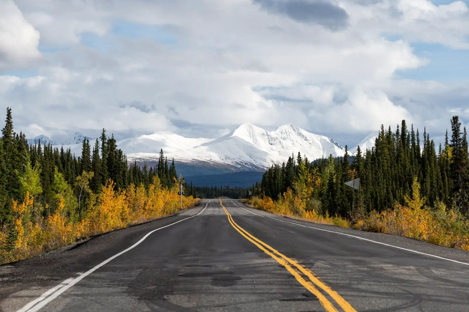
The Alaska Highway, in four decisions
- Drive Dawson Creek to Delta Junction — about 1,387 miles through Fort Nelson, Watson Lake, Whitehorse, and Beaver Creek, entirely paved but with summer construction gravel breaks.
- Go between late May and early September — that's when highway lodges, campgrounds, and the Top of the World Highway border crossing are actually open.
- Budget 7–10 days, minimum — the road can be driven in three or four hard days, but that treats a bucket-list drive like a delivery run.
- Fill up whenever you're near half a tank and carry your passport — some stretches between services run over 100 miles, and this is an international border crossing both ways.
What the Alaska Highway actually is
The Alaska Highway — the Alcan, in the nickname that's stuck since construction — runs from Mile 0 in Dawson Creek, BC, to Delta Junction, Alaska, where it meets the Richardson Highway for the final stretch into Fairbanks. It was built in 1942 by US Army engineers and civilian contractors in about eight months, a wartime response to the vulnerability the Pearl Harbor attack exposed in Alaska's supply lines. What opened to public traffic in 1948 was a rough, largely gravel road; decades of straightening and rebuilding have both improved it and shortened it, from roughly 1,700 miles at completion to about 1,387 miles (2,232 km) today. That's also why the highway's own historical mileposts — the numbers small towns and lodges still use in their names and addresses — run out to around Mile 1,422 even though the actual driving distance is shorter: the road got straighter, but nobody renumbered the mileposts.
The highway has been paved along its entire length since the early 1990s, which surprises people expecting a gravel expedition. What you'll actually encounter most summers are gravel breaks — short sections, from a few dozen feet to a few miles, torn up for the season's maintenance and frost-heave repair — plus rough pavement and dips where permafrost under the road thaws and refreezes unevenly. It's a drive that rewards a full-size spare, a windshield you don't mind chipping, and headlights on during the day, not four-wheel drive.
The route: Dawson Creek to Delta Junction, leg by leg
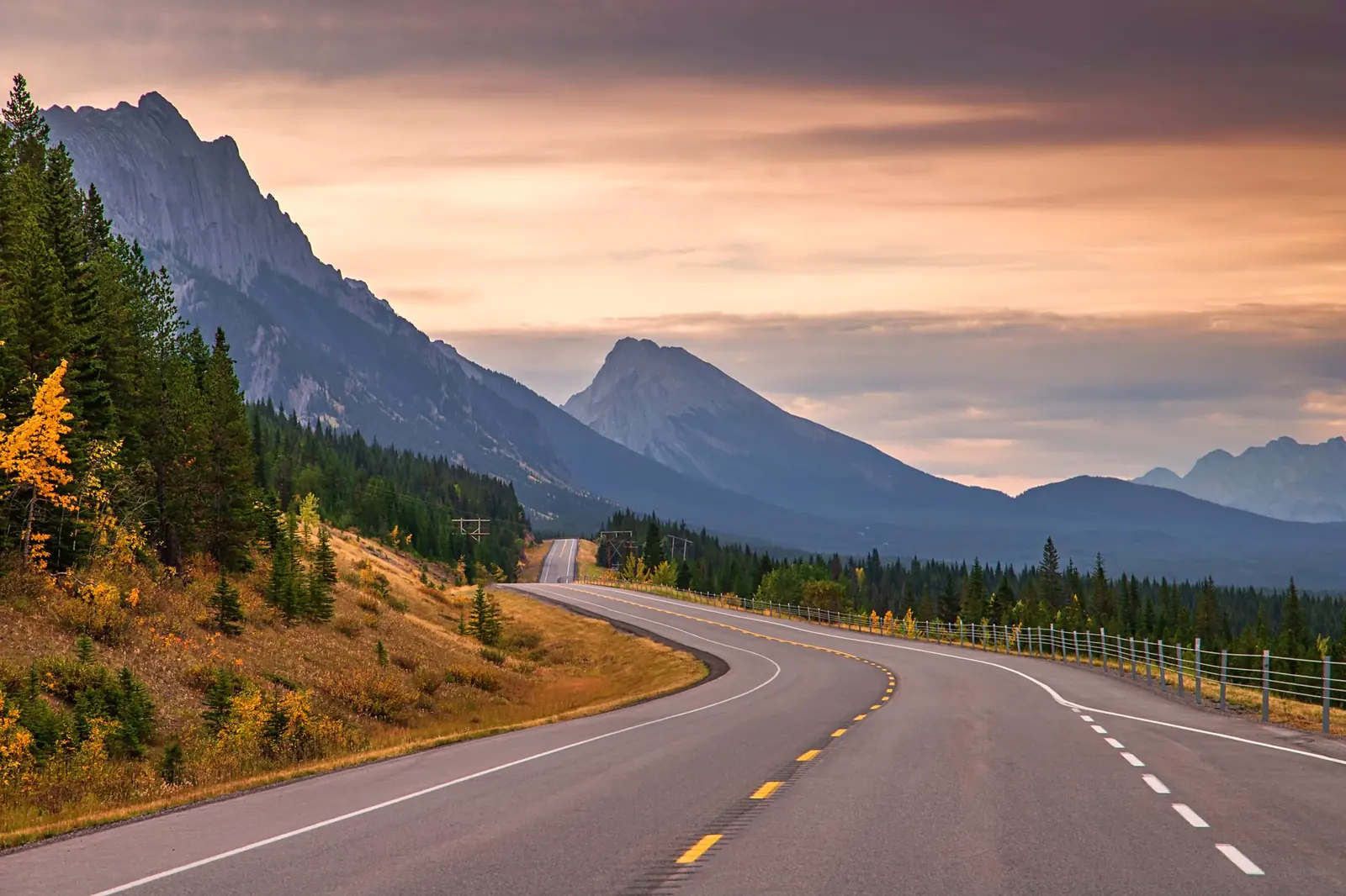
The Alaska Highway crosses two Canadian jurisdictions and one US state, and it sorts naturally into legs anchored by the towns and services along it. Distances below are approximate — the highway's own straightening history means any figure is a snapshot, not a survey:
| Leg | Approx. distance | Character |
|---|---|---|
| Dawson Creek → Fort St. John, BC | ~50 mi | Farmland easing into the Peace River country; the Mile 0 post and the highway's official start |
| Fort St. John → Fort Nelson, BC | ~235 mi | Boreal forest and the Rockies rising ahead; the last sizeable town before the mountains |
| Fort Nelson → Watson Lake, YT | ~325 mi | The highway's mountain crossing — Stone Mountain and Muncho Lake provincial parks, the Liard River hot springs, and a real fuel-gap stretch |
| Watson Lake → Whitehorse, YT | ~250 mi | Into the Yukon proper; Watson Lake's Sign Post Forest, then rolling lakes and forest to the territorial capital |
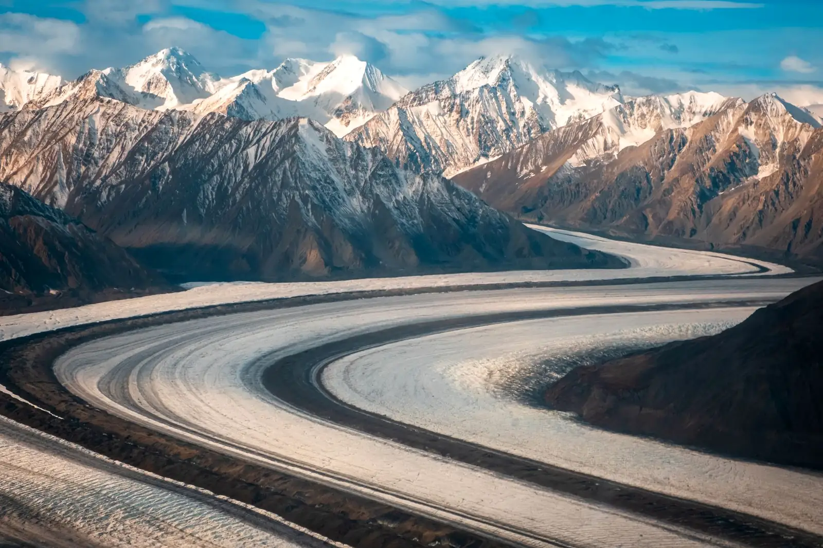
| Whitehorse → Haines Junction, YT | ~100 mi | Short leg with big mountains — Kluane National Park's icefields come into view |
| Haines Junction → Beaver Creek, YT | ~200 mi | The most permafrost-troubled stretch on the whole highway, past Kluane Lake and Destruction Bay |
| Beaver Creek → Delta Junction, AK | ~200 mi | Crosses into Alaska near Tok, then follows the Tanana River valley to the highway's official end |
Fort Nelson, Watson Lake, and Whitehorse are the three towns big enough to count on for full services — fuel, tire repair, groceries, a decent night's sleep. Everything between them is lodges and roadhouses spaced unevenly, some open only in summer, which is the whole reason fuel planning matters more here than the mileage alone suggests.
The Top of the World Highway: the loop variant worth the extra days
Drivers with a week or more often skip a chunk of the straight Alcan for a detour that's arguably the highway's best-kept secret: from Whitehorse, follow the Klondike Highway north to Dawson City, then pick up the Top of the World Highway, a mostly gravel road that runs along ridgelines above the treeline with views that justify the name, before dropping to the Poker Creek–Little Gold Creek border crossing and the Taylor Highway into Tok, Alaska, where you rejoin the Alaska Highway toward Delta Junction. It trades pavement for scenery and adds gold-rush history at Dawson City along the way.
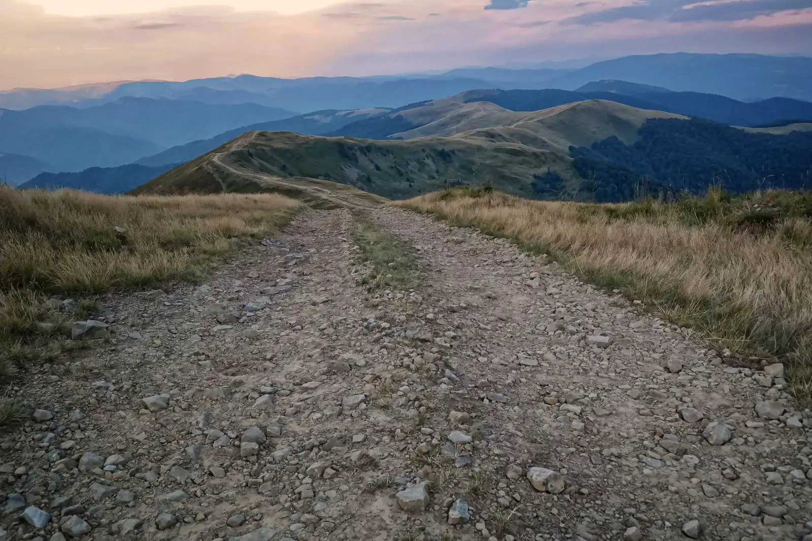
The catch is that this crossing is seasonal and short-houred: Poker Creek's 2026 season is scheduled to run May 22 through September 15, staffed roughly 9 a.m. to 7 p.m., per the crossing's published seasonal operating dates (sourced to U.S. Customs and Border Protection's own announcement) — and those dates shift with weather at short notice, so confirm current status directly with CBP before you commit to the loop rather than the straight highway. There's no cell service, no lighting, and no services of any kind on the Top of the World Highway itself, so treat it as a full-tank, full-daylight undertaking, not a shortcut.
When to drive the Alaska Highway
Late May through early September is the window that actually works. Outside it, the highway is technically drivable but a different kind of trip — many of the small lodges, campgrounds, and gas stops between the three main towns close for the season, daylight shrinks fast at these latitudes, and winter driving here means ice, extreme cold, and services you can't count on being open, which is a serious undertaking best left to drivers already experienced with northern winter conditions rather than a first Alcan run.
Within the summer window, June and early July bring the longest daylight — near-continuous light this far north — and the highest odds of dry gravel breaks; August adds a chance of wildfire smoke depending on the year, and by September the highway lodges start trimming hours and some close for the season. Whatever month, mornings tend to bring the calmest wildlife-viewing light and the least highway-construction traffic, since flagging crews typically run through the day.
How many days an Alaska Highway road trip needs
The Alcan can be driven end to end in three or four long days if you treat it as pure transportation — plenty of people do, delivering a vehicle or racing the calendar. That pace also means skipping almost everything the highway is actually for:
| Plan | What it buys |
|---|---|
| 3–4 days | The delivery-run pace: Dawson Creek to Delta Junction with fuel and sleep stops only, no real sightseeing |
| 7–10 days | The real trip: time at Muncho Lake and Liard hot springs, a full day in Whitehorse, Kluane's icefield views, and slack for gravel-break delays |
| 2+ weeks | Adds the Top of the World Highway loop through Dawson City, a Kluane hike, and a buffer for weather or vehicle trouble far from a dealership |
The honest constraint isn't distance — this is mostly open, high-speed two-lane road — it's fatigue and daylight. Days here run long in summer, which tempts drivers into pushing past the point where hitting a bison or a frost heave in the dark becomes the real risk. The same daily drive-time caps from our general road-trip planning guide apply, arguably more here than anywhere else on this blog.
Fuel, permafrost, and the border: the practical layer
Fuel: plan around the gaps, not the towns
Fort St. John, Fort Nelson, Watson Lake, and Whitehorse are safe bets for fuel, tires, and a mechanic. Between them, service is a scatter of lodges and roadhouses — some seasonal, some family-run and prone to closing without much notice — and the stretch through the Rockies between Fort Nelson and Watson Lake, including the Muncho Lake area, has the longest reputation for real gaps between reliable pumps. Treat "half a tank" as your trigger to fill up rather than waiting for empty, and check current services status with The Milepost, the trip-planning guide most Alcan travelers and lodge owners themselves treat as the standard reference, before you commit to a long push between towns.
Permafrost and roadwork: the highway keeps needing rebuilding
The Yukon stretch between Destruction Bay and Beaver Creek sits on some of the highway's worst permafrost, and thawing ground under the road produces frost heaves and settlement that reappear even in sections rebuilt a few years earlier. Canada and Alaska have run a joint reconstruction effort here for decades, called the Shakwak Project; a 2024 memorandum between the Yukon and Alaska governments targeted roughly 222 km (138 mi) from Destruction Bay to the border for restoration, and a 2026 Alaska state construction notice lists active work on a roughly 17.5 km (11 mi) section between the Koidern River and White River bridges, with completion slated for September 30, 2026. That's one project on one stretch in one year on a highway that gets worked on somewhere every summer — the useful habit isn't memorizing this year's mile markers, it's checking 511 Yukon for British Columbia and Yukon conditions and 511 Alaska for the Alaska side the morning you drive, since flagging, gravel breaks, and pilot-car delays move around week to week.
The border: two document checks, one each direction
This is a route with an international border in the middle of it, not at one end — you clear Canadian customs heading north out of BC's practical world and US customs again at the Alaska line, and if you loop back through the Lower 48 you'll clear both again. A valid passport (a passport book is the safer choice over a card if there's any chance you'll fly home partway through the trip) plus proof of vehicle registration and insurance covers the basics; the document checklist — minors traveling without both parents, pet rabies paperwork, the rest — is the same one covered in our road-trip planning guide's border-crossing section rather than worth restating here. One Alcan-specific wrinkle: liability insurance minimums differ between US states and Canadian provinces and territories, so confirm with your own insurer that your policy's coverage meets Yukon and British Columbia requirements before you leave, rather than assuming your home-state minimum travels with you.
Wildlife and cell coverage
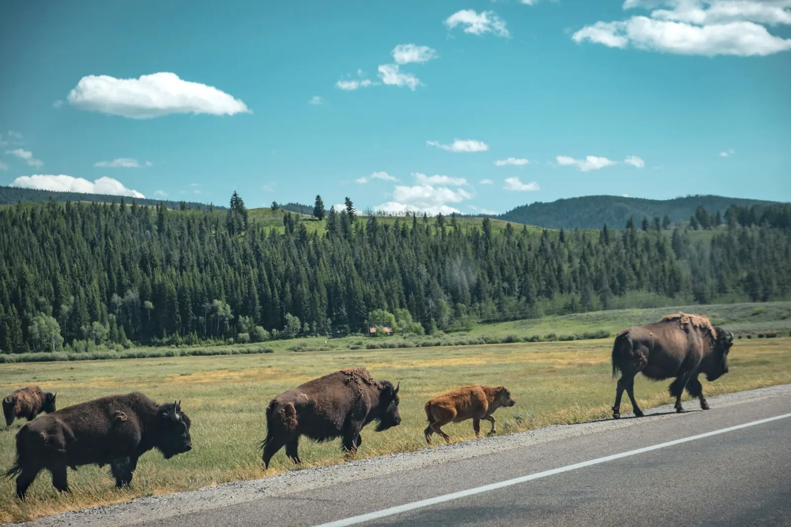
Bison graze right on the shoulder near the Liard River, moose cross at dawn and dusk throughout, and black bears and grizzlies are a real presence, not a brochure line — give animals room and never approach for a photo. Cell coverage is sparse to nonexistent through most of the drive between towns; download offline maps and tell someone your rough schedule before you lose signal for the day.
Alaska Highway road trip FAQ
How long does it take to drive the Alaska Highway?
About three to four long days of hard driving for the full 1,387 miles from Dawson Creek to Delta Junction. Most travelers do better with 7–10 days, which leaves room for Muncho Lake, Kluane's icefield views, a night in Whitehorse, and slack for the summer's gravel-break delays.
Do you need a passport to drive the Alaska Highway?
Yes. The route crosses the US–Canada border twice if you drive it one way — once into Canada, once back into Alaska — so a valid passport is required both times, along with proof of vehicle registration and insurance. A passport book is safer than a card if you might fly home mid-trip.
Is the Alaska Highway fully paved?
Yes, it's been paved end to end since the early 1990s, but expect gravel breaks most summers where crews are repairing frost heaves and permafrost damage, especially between Destruction Bay and Beaver Creek in the Yukon. Check 511 Yukon and 511 Alaska for current conditions before you go.
When is the best time to drive the Alaska Highway?
Late May through early September, when highway lodges, campgrounds, and the seasonal Top of the World Highway border crossing are open and daylight runs long. Outside that window, services thin out fast and winter driving conditions turn this into a much more serious undertaking.
Is there cell service on the Alaska Highway, and is wildlife a real concern?
Cell coverage is sparse to nonexistent through most of the drive between towns, so download offline maps and tell someone your rough schedule before you lose signal for the day. Wildlife is a real presence, not a brochure line — bison graze right on the shoulder near the Liard River, moose cross at dawn and dusk throughout, and black bears and grizzlies turn up regularly, so give animals room and never approach for a photo.
Turning this into your Alaska Highway road trip
Start with the calendar — late May through early September is a hard constraint here, not a preference — then decide straight-through or the Top of the World Highway loop, since that decision drives whether you need a passport-ready plan for a second, seasonal border crossing. Book a night in Whitehorse and Dawson City if the loop is in, since Alcan lodging is thin and small-scale everywhere else, then leave the rest loose: this is a road where a bison in the ditch or a gravel break can rewrite the afternoon. If you're building out the wider trip north, the Icefields Parkway and the Cabot Trail are the other two border-crossing drives on this blog worth pairing with the planning habits here — and sketch the whole route in the planner before you fill the tank for Mile 0.