A Cabot Trail road trip is Canada's answer to the great coastal drives everyone already knows — a 298-kilometre (185-mile) loop around the north end of Cape Breton Island, Nova Scotia, that climbs three highland mountains, hugs two different coastlines, and never leaves you more than a day's drive from a pilot whale, a ceilidh, or a plate of Acadian rappie pie. Unlike Highway 1 or the Blue Ridge Parkway, it's a closed loop — you finish where you started — and unlike almost any other drive on this list, it crosses an international border to get there. Here's how the loop breaks down, which direction actually matters and which doesn't, when to go for whales versus foliage versus quiet, and the fees, ferries, and mountain grades worth knowing before you point the car north.
The short version: the Cabot Trail is a 298-km (185-mile) loop around Cape Breton Island's Highlands, drivable nonstop in about 4.5 hours but worth three to five days, at its best for whale-watching in summer and for foliage in the first half of October — with a U.S. passport required to get there and Cape Breton Highlands National Park covering the wildest third of the route.
The Cabot Trail, in four decisions
- Give it three days minimum, not a day trip — the loop is short enough to drive in an afternoon and deep enough to fill a week; three days is where it stops feeling rushed.
- Go for whales in summer or foliage in early-to-mid October — pilot whales work the water off Pleasant Bay roughly June through October, and the Highlands' hardwoods typically peak in the first half of October, with the Celtic Colours festival timed to catch it.
- Direction is a real toss-up, not a formality — counterclockwise keeps the passenger on the ocean side of the car; clockwise keeps the driver on the inside lane through the steepest mountain grades. Neither is wrong.
- Bring a passport, not just a plan — this is the one route on the blog that crosses into Canada, and it's worth booking the ferry or land crossing before you book anything else.
What the Cabot Trail actually is
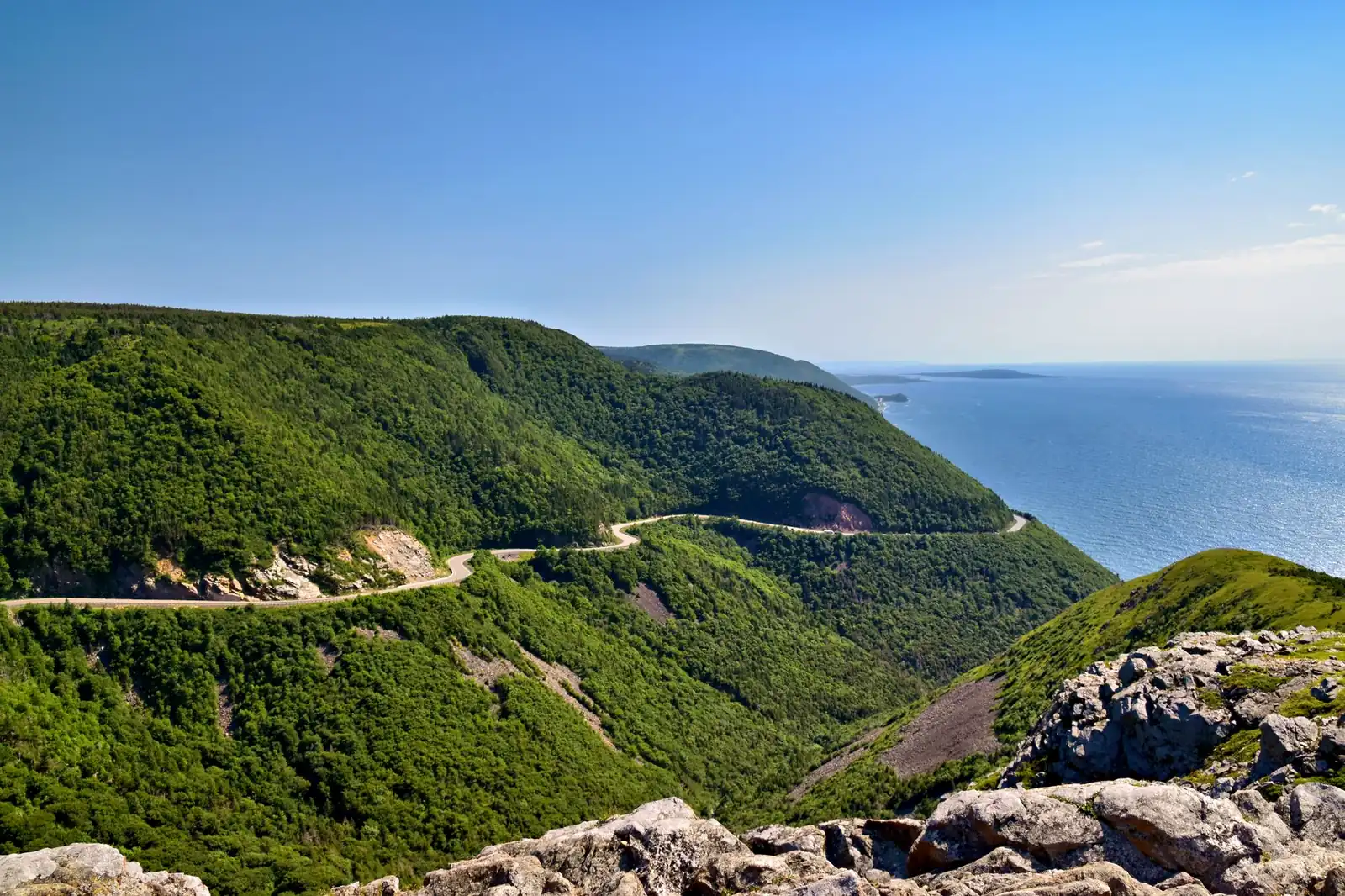
The Cabot Trail is a single provincial highway, first completed in 1932, that forms a loop around the highlands of northern Cape Breton Island — the part of Nova Scotia that sticks out into the Gulf of St. Lawrence and the Atlantic on either side of a narrow neck of land. It's named for the explorer John Cabot, believed by some historians to have made landfall near the trail's northern tip in 1497, though the claim is contested and the site is more legend than settled record. What isn't in dispute is the terrain: the road climbs and drops across three mountains, alternates between sheer coastal cliffs and river valleys, and spends its wildest third inside Cape Breton Highlands National Park, a Parks Canada park that straddles the loop's northern arc.
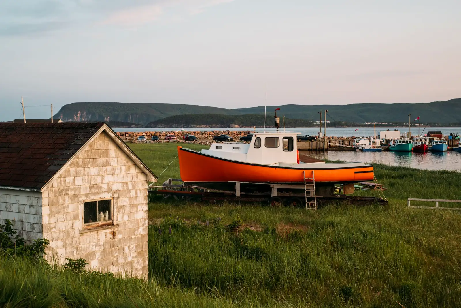
The character shifts by coast. The west side, from Chéticamp north to Pleasant Bay, is Acadian French country — fishing villages, rug-hooking studios, and a coastline that drops straight into the Gulf. The highland crossing in between is boreal plateau, moose country, and the road's steepest grades. The east side, from Ingonish back down through St. Ann's, is Gaelic and Scottish settlement country, gentler and greener, ending at Bras d'Or Lake near Baddeck. Nobody drives the Cabot Trail for one thing — it's four regions and two cultures stitched into a single loop, which is the whole appeal and also why rushing it defeats the purpose.
The route: two coasts, three mountains, one loop
Most trips start and end at Baddeck, a small lakeside town on the Trans-Canada Highway that's also home to the Alexander Graham Bell National Historic Site — Bell spent his later summers here, and the museum is worth the hour even if you've never thought about the telephone. From there, the loop breaks into three stretches:
| Section | Character | Don't-miss stops |
|---|---|---|
| Southwest — Baddeck to Chéticamp | Warm-up act: the Margaree River valley, then the Acadian coast | Margaree Valley salmon rivers, Chéticamp's Acadian waterfront and rug-hooking museum, Our Lady of Fatima church |
| The Highlands — Chéticamp to Ingonish | The famous part: national park, two mountain crossings, the wildest coastline | French Mountain and MacKenzie Mountain overlooks, the Skyline Trail, Pleasant Bay whale-watching, Cabot's Landing Provincial Park, Black Brook and Green Cove |
| East — Ingonish to Baddeck | The gentle finish: Cape Smokey, Gaelic settlement country, Bras d'Or Lake | Cape Smokey's coastal gondola, the Gaelic College at St. Ann's, Bras d'Or Lake viewpoints on the run back into Baddeck |
The Skyline Trail is the one stop to build a day around
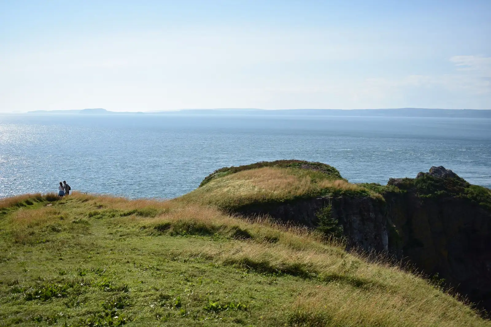
Inside the national park, a parking area off the highway near French Mountain marks the trailhead for the Skyline Trail — a boardwalk loop of roughly 6.5 to 8 kilometres, doable in two to three hours, that ends at a headland cliff hanging directly over the Gulf of St. Lawrence. It's an easy, family-friendly walk with a payoff disproportionate to the effort: moose and bald eagles work the plateau, and the same waters that draw whale-watching boats out of Pleasant Bay are visible from the boardwalk itself in season. If you only add one stop to the drive-through version of this loop, this is it.
Route-craft: the mountain crossings are real mountain driving
This is the part first-timers underestimate. Between Chéticamp and Pleasant Bay, the highway climbs French Mountain and then MacKenzie Mountain in quick succession — narrow, winding pavement with switchbacks and grades that run into double digits, occasionally touching the mid-teens on short pitches. It's a paved provincial highway, not a 4x4 track, but it rewards the same habits as any mountain road: use a lower gear on the descents, don't ride the brakes, and give an RV or trailer combination more respect than the map distance suggests — this is a route where a short section takes longer than its kilometre count implies.
When to drive the Cabot Trail
Summer (June through August) is the reliable window — mild highland weather, the island's tourism infrastructure fully open, and the reason most people build a trip here in the first place: pilot whales congregate in the waters off Pleasant Bay roughly from June through October, alongside humpbacks, minke whales, and dolphins, making it one of the more consistent whale-watching bases on the Atlantic coast. Book a tour rather than assuming you'll walk up — Pleasant Bay's small fleet of operators fills up in peak weeks.
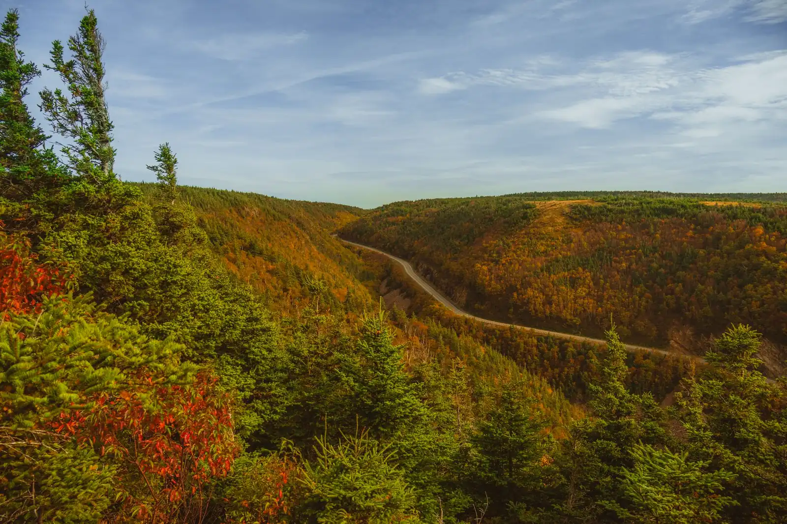
Fall is the sleeper pick, and it has a festival built around it: the Celtic Colours International Festival brings concerts and cultural events to communities across Cape Breton for nine days every October — its 30th edition runs October 9–17, 2026, per the festival's official site — timed deliberately to overlap with the island's foliage. Peak color on the Cabot Trail typically falls in the first half of October, though it varies by elevation and by year, so treat any specific date as a target to check against current reports rather than a guarantee.
Winter is a genuine option for a different kind of trip: the Cabot Trail is a snow-clearing priority route and stays open and plowed year-round, but most whale-watching operators, many restaurants, and some lodges close for the season roughly November through April, and Parks Canada will close sections of the highway temporarily during severe storms. If you're chasing solitude and don't need the tourist infrastructure running, winter delivers it; if you want the businesses open, don't come before late spring.
How many days a Cabot Trail road trip needs
Nonstop, the full 298-km loop takes roughly four and a half hours — which is exactly the wrong way to think about it. This is a route built for pulling over: overlooks, short trails, whale tours, and villages that reward an actual stop rather than a photo through the windshield.
| Plan | What it buys |
|---|---|
| One day | The drive-through version: the mountain crossings, a couple of overlooks, and the Skyline Trail if you start early. Doable, but you'll skip almost everything else |
| Three days | The working minimum: a night in Chéticamp or Pleasant Bay for a whale tour, a night on the east side near Ingonish, and time for the Skyline Trail and a couple of village stops |
| Five to seven days | The full version: adds real time in Baddeck (the Bell museum), a Cape Smokey gondola ride, the Gaelic College at St. Ann's, and slack for weather — a socked-in Skyline morning gets a second chance |
Because it's a loop, direction affects the drive but not the logistics — you return to your starting point either way, which makes Baddeck (on the Trans-Canada Highway, with the widest range of lodging) the natural anchor. One-way rental cars aren't a factor here the way they are on point-to-point routes.
Fees, the border, fuel, and the practical layer
Park entry: free some of the year, cheap the rest
You don't need a park pass to simply drive the Cabot Trail highway through Cape Breton Highlands National Park without stopping — that's an explicit exemption, per the park's entry pass notice (updated April 7, 2026). The moment you stop for the Skyline Trail, an overlook inside park boundaries, or a picnic area, you need a pass: $10 CAD per adult per day or $19.50 for a family/group vehicle, per the park's own fees page (updated March 11, 2026). Like every other Parks Canada site, entry here is free from June 19 through September 7, 2026 under the Canada Strong Pass — the same nationwide program we cover in detail on the Icefields Parkway, and it applies here without any separate registration.
Getting there: this route needs a passport
The Cabot Trail is the one route on this blog that requires crossing into another country, and the paperwork is worth sorting before you book beds. U.S. citizens need a valid passport (or NEXUS card) to enter Canada — the general document rules in our road-trip planning guide apply here. Two practical ways in from the U.S.: drive through Maine into New Brunswick and across to Nova Scotia, or take the CAT, a high-speed car ferry running the roughly 3.5-hour crossing between Bar Harbor, Maine, and Yarmouth, Nova Scotia — its 2026 season runs mid-May through mid-October, per the operator's own schedule, and it's worth booking ahead rather than assuming a walk-up spot for your vehicle.
Fuel and charging: better than you'd expect for a rural loop
Gas stations sit in the main villages — Baddeck, Margaree, Chéticamp, Pleasant Bay, Cape North/Dingwall, and Ingonish — so this isn't the fuel-desert experience of some of the western routes on this blog. EV drivers are also better served than the terrain suggests: Nova Scotia Power operates DC fast chargers at Chéticamp and Ingonish, and Parks Canada has added charging at trailheads and visitor centers inside the park. Verify the specific stations you're counting on before you rely on them — rural charging networks are still young and uptime varies — but a full EV loop is a realistic plan here in a way it isn't on, say, the Icefields Parkway.
Moose, fog, and cell coverage
Moose are a real hazard on the mainland approach roads and inside the highlands, most active at dawn and dusk — slow down and scan the shoulders rather than trusting your headlights to give enough warning. Cell coverage drops out through much of the highland crossing, so download offline maps before you leave Chéticamp or Ingonish rather than counting on a signal at the summit.
Cabot Trail road trip FAQ
How long does it take to drive the Cabot Trail?
About 4.5 hours nonstop for the 298-km (185-mile) loop — but that skips the point. Three days is the honest minimum for a trip that includes a whale tour, the Skyline Trail, and time in the villages on both coasts; five to seven days lets you add Baddeck, Cape Smokey, and slack for weather.
Which direction should you drive the Cabot Trail?
It's a genuine toss-up. Counterclockwise (starting west from Baddeck) puts the passenger closest to the ocean views and many pull-offs on the easier side to reach; clockwise keeps the driver on the inside lane through the steepest highland grades. Neither direction is a mistake — pick the one that matches whether you'd rather optimize for photos or for driving comfort.
Do you need a passport for the Cabot Trail?
Yes, if you're coming from the U.S. — a valid passport or NEXUS card is required to enter Canada, whether you drive through New Brunswick or take the CAT ferry between Bar Harbor, Maine, and Yarmouth, Nova Scotia. Build the border crossing into your plan before you book lodging.
When is the best time to see whales or fall color on the Cabot Trail?
Pilot whales and other species work the waters off Pleasant Bay roughly June through October, with summer the most reliable window for tours. Fall color typically peaks in the first half of October, which is also when the Celtic Colours International Festival runs — its 2026 edition is October 9–17. Check current foliage reports before locking dates either way.
How much does it cost to drive the Cabot Trail?
Driving straight through Cape Breton Highlands National Park is free — no pass required if you don't stop. The moment you pull off for the Skyline Trail, an overlook, or a picnic area, you need a park pass: $10 CAD per adult per day or $19.50 for a family/group vehicle. Entry is free for everyone from June 19 through September 7, 2026 under the Canada Strong Pass.
Turning this into your Cabot Trail road trip
The planning order here is different from most routes on this blog because of the border: confirm your passport and pick your crossing — land through New Brunswick or the CAT ferry from Bar Harbor — before you book a single night's lodging. From there, anchor on Baddeck, decide your direction, and book a Pleasant Bay whale tour or a Celtic Colours ticket early if either is the point of the trip. Then sketch the loop in the planner with the Highlands crossing as its own day. And if a closed-loop drive is what you're after but you'd rather skip the international paperwork, the Lake Superior Circle Tour offers the same around-the-lake structure — and a passport-free, U.S.-side-only version — on the other side of the continent.