A Baja California road trip means one road: Mexican Federal Highway 1, the Carretera Transpeninsular, running the full length of the Baja California peninsula from Tijuana down to Cabo San Lucas. It's roughly 1,000 to 1,060 miles depending on which map you trust, through desert nobody bothers to fake for a postcard, along two different coastlines, and across a border that changes the rules on insurance, permits, and how you plan a day more than any other drive on this blog. Here's what the highway actually is, how the peninsula breaks into distinct driving days, the winter-versus-summer case, and the documents and fuel logistics worth sorting before you point the car south.
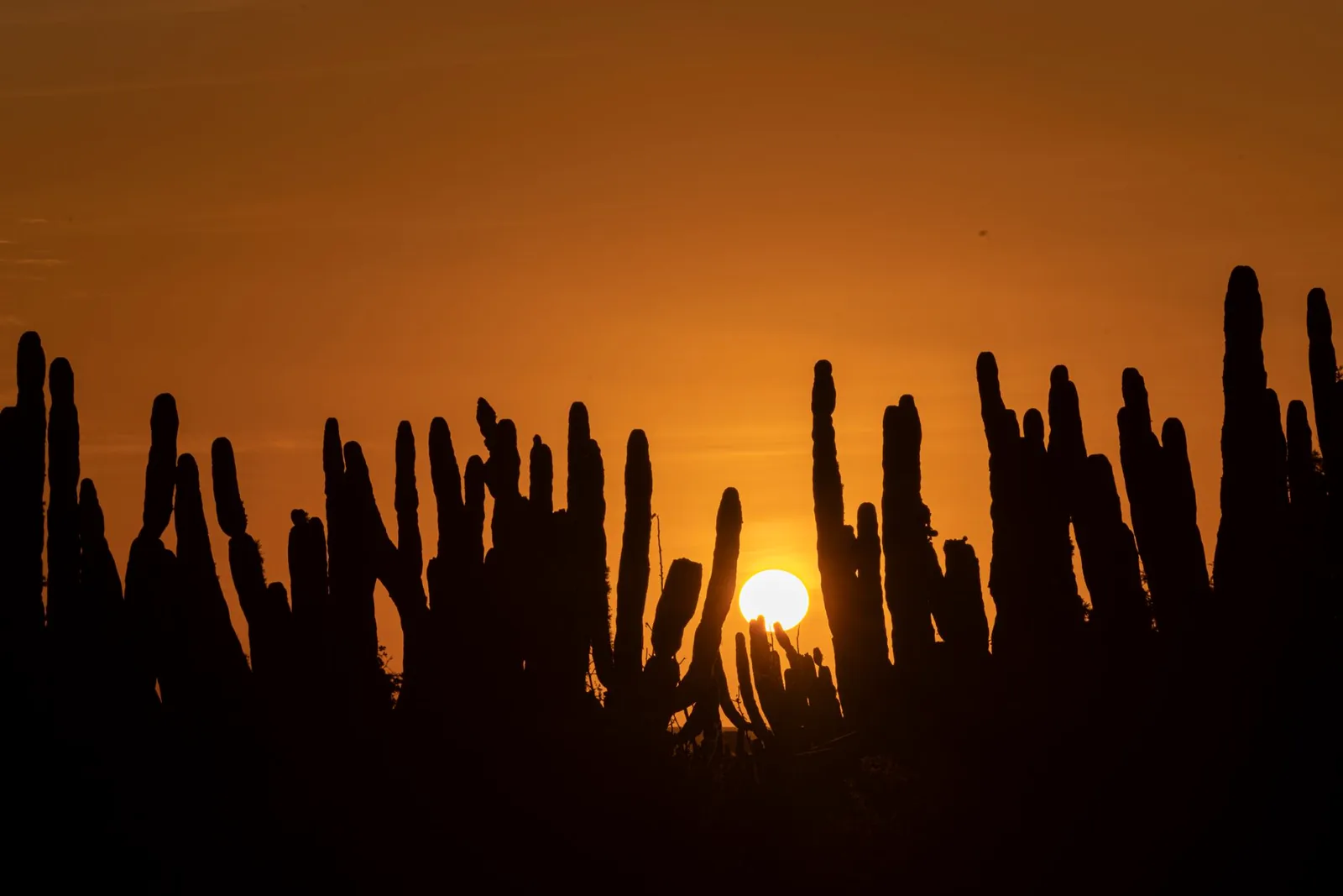
A Baja California road trip, in four decisions
- Sort the paperwork before the border, not after — a tourist permit (FMM) and Mexican auto insurance are non-negotiable; the good news is you do not need a vehicle import permit anywhere on the peninsula.
- Go roughly November through April — the desert interior is brutal in summer, Pacific hurricane season runs May 15 through November 30, and winter is also gray whale season in the southern lagoons.
- Never drive Highway 1 after dark — long stretches have no shoulder, no lighting, and free-range cattle that sleep on warm pavement.
- Budget three driving days minimum for the full peninsula — the daylight-only rule alone forces that, before you add a single stop.
What a Baja California road trip actually is
"Baja" is really two Mexican states stacked end to end on one long peninsula: Baja California in the north (capital Mexicali, gateway city Tijuana) and Baja California Sur in the south (gateway city La Paz, tourist anchor Los Cabos). One highway ties them together — Mexico 1, completed in 1973 as the first paved road to run the peninsula's full length, replacing what had been a multi-day dirt-track expedition. It's a genuinely different kind of drive from anything else covered on this blog: a single lightly-trafficked two-lane highway through some of the emptiest desert in North America, bookended by a wine region in the north and a resort coast in the south, with a border crossing as the price of admission.
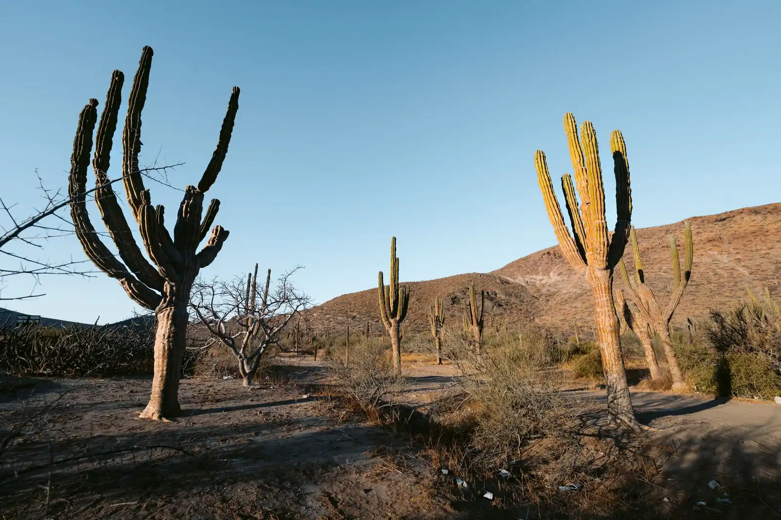
Geographically, the peninsula sits between the Pacific Ocean on the west and the Sea of Cortez (Gulf of California) on the east, and Highway 1 threads between them, sometimes hugging one coast, sometimes cutting through the interior desert where cirio trees (boojum trees, found almost nowhere else on Earth) and giant cardón cacti stand in for scenery. It's not a scenic byway in the postcard sense the Blue Ridge Parkway or the Icefields Parkway are — it's a working highway through a genuinely wild, sparsely populated landscape, and that emptiness is most of the appeal.
The Baja California route: four regions, one highway, two states
Most drivers start in San Diego, cross at Tijuana or the quieter Otay Mesa/Tecate crossings, and work south. The drive sorts into four stretches with genuinely different characters:
| Stretch | Character | Don't-miss stops |
|---|---|---|
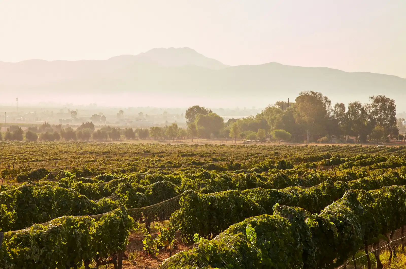
| Tijuana to Ensenada | The warm-up: a modern toll highway (1D) along the coast, then wine country inland | Valle de Guadalupe wineries, Ensenada's malecón and fish taco stands, La Bufadora blowhole |
| Ensenada to Guerrero Negro | The famous empty middle: hundreds of miles of desert, boulder fields, and cirio forest, crossing into Baja California Sur partway through | Catavina's boulder-strewn cactus forest, San Ignacio's oasis mission town, the state-line whale monument at the 28th parallel |
| Guerrero Negro to La Paz | The Sea of Cortez turn: whale lagoons give way to a mission-dotted gulf coast | Laguna Ojo de Liebre and Laguna San Ignacio (gray whale lagoons), Mulegé's palm oasis, Loreto's bay and old mission, La Paz's malecón |
| La Paz to Los Cabos | The resort finish: a fast toll highway (19) or the slower coastal Highway 1 to the twin towns at the peninsula's tip | Todos Santos' art-town detour, San José del Cabo's historic center, the Land's End arch at Cabo San Lucas |
The central desert is real desert driving
Between El Rosario and Guerrero Negro — roughly the loneliest few hundred miles on the route — towns thin out to almost nothing, cell coverage disappears for long stretches, and Highway 1 itself narrows in places to a single lane in each direction with little to no shoulder. This is where most Baja driving advice concentrates, for good reason: fill up whenever you see a station rather than waiting for a "good" price, don't assume your phone plan works, and carry some cash, since remote stations don't reliably take foreign cards.
Do not drive Highway 1 after dark
This is the single most repeated piece of advice from every source that covers this drive, and it's worth repeating again: free-range cattle, horses, and goats use the highway itself, especially at night, and they're nearly invisible against unlit pavement until headlights catch them at speed. Add missing shoulders, unmarked topes (speed bumps) through small towns, and the occasional unlit pothole, and the math is simple — plan every day's driving to end well before sunset, not right at it.
When to drive Baja California
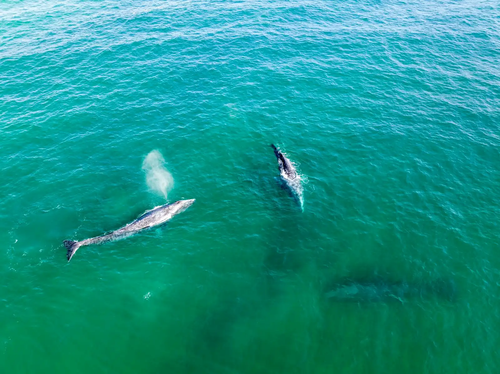
The best time for a Baja California road trip is November through April, the reliable winter window, for reasons that stack on top of each other. The desert interior is genuinely dangerous-hot in summer — the kind of heat where a roadside breakdown becomes a real emergency rather than an inconvenience — while November through April keeps daytime temperatures workable across most of the peninsula. It's also whale season: gray whales migrate from Arctic feeding grounds to calve in the peninsula's Pacific lagoons, with the season generally running from around December into April and peaking in January through March at the three main sites — Laguna Ojo de Liebre near Guerrero Negro, the more remote Laguna San Ignacio, and Bahía Magdalena near La Paz. Treat those months as a target rather than a guarantee; migration timing shifts year to year, and tour operators at each lagoon are the best source for what's actually showing up that week.
The other half of the calendar is the caution, not the plan. The eastern Pacific hurricane season runs May 15 through November 30 with activity historically peaking July through September, per the National Hurricane Center's climatology — the same basin that occasionally sends a tropical system up the Baja California Sur coast toward Los Cabos and La Paz. That doesn't rule out a summer trip, but it means booking flexibly and watching the forecast, the same rule this blog applies to hurricane season on the Overseas Highway on the other side of the continent.
How many days a Baja California road trip needs
Mapping tools put the direct Tijuana-to-Cabo-San-Lucas driving distance at a little over 1,000 miles and roughly 20 hours behind the wheel with no stops — and the no-night-driving rule alone means that's never actually one push. Spread across comfortable daylight hours, the full peninsula run is a minimum of about three long driving days before you add a single stop, and almost nobody should try to do it in three:
| Plan | What it buys |
|---|---|
| Long weekend, 3–4 days | Skip the peninsula altogether: fly into Tijuana or drive down for Valle de Guadalupe wine country and Ensenada, or fly into Los Cabos and rent a car for a short loop to Todos Santos and La Paz |
| 7–8 days | The full peninsula at a real pace: two nights in the north (Ensenada/Valle de Guadalupe), one or two crossing the desert with a whale-lagoon stop, then a few days working down the Sea of Cortez coast to Los Cabos |
| 10–14 days | The unhurried version: adds real time in Loreto and Mulegé, a proper whale tour rather than a drive-by, and slack for the unpaved side roads and beach camps the coast is known for |
A one-way rental works here in the way it doesn't on a closed loop — you can drop the car in La Paz or Los Cabos and fly home, or vice versa, though cross-border and one-way Mexican rentals carry their own fees and restrictions worth confirming with the rental company before you book, not after.
Documents, insurance, and fuel for driving Baja California
What you actually need at the border
Every visitor needs a valid U.S. passport book or passport card to enter Mexico and to re-enter the United States — the same baseline rule covered in our road-trip planning guide's document checklist. Beyond that, you'll pick up a Forma Migratoria Múltiple (FMM), Mexico's tourist entry permit, either online in advance or at an immigration office at the border crossing. Land entries of seven days or less travel free; longer stays pay a fee that Mexico's immigration institute (INM) revises each January, and current secondary sources don't agree on the exact 2026 peso figure — INM's own tariff notice was republished March 1, 2026 for rates effective that January, so check the current amount on INM's site or with the crossing itself rather than trusting a number in this post.
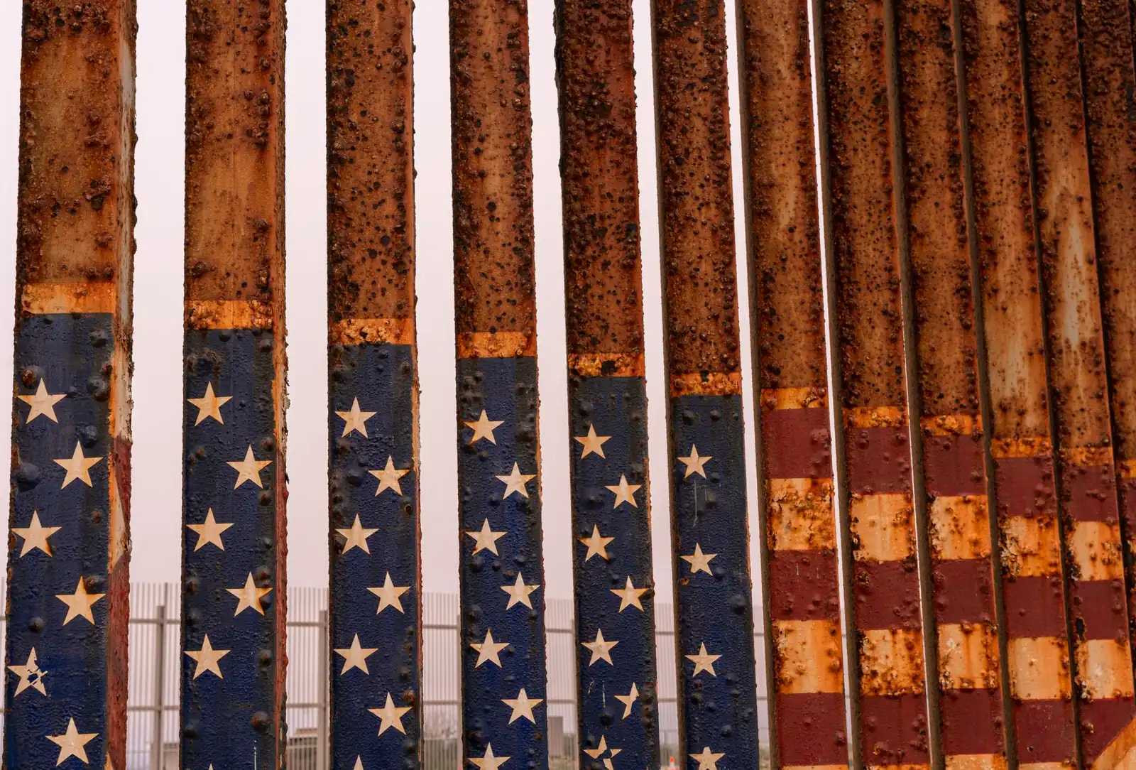
One piece of good news: unlike mainland Mexico, the entire Baja California peninsula — both states — is a customs "free zone" for vehicles, so a temporary vehicle import permit is not required to drive anywhere from Tijuana to Cabo San Lucas, per multiple Mexico-specialty insurers' current permit guides. That exemption has held for years and is specific to the peninsula; it disappears the moment you'd drive a car onto the mainland-Mexico ferry from La Paz or Santa Rosalía. Confirm the rule hasn't changed at the border or with a Mexican consulate before you rely on it, the same caution this blog gives every perishable cross-border rule.
Mexican auto insurance is not optional
U.S. and Canadian auto insurance is not recognized in Mexico. You need a policy from a Mexico-licensed insurer, purchased before you cross — at a border-town office, a kiosk, or online — and the state of Baja California, like other Mexican states, sets a minimum liability requirement. Skip the specific peso figure and just budget for it: a short trip's Mexican liability policy is a modest add-on, and driving without one turns any accident, however minor, into a legal problem you didn't need.
Fuel in the desert
Mexico ended Pemex's fuel monopoly in 2017, so you'll see other brands at stations in the bigger towns now, but the practical rule on Highway 1 hasn't changed: fill up in every town of any size, especially before the long El Rosario–Guerrero Negro gap, and don't assume a station marked on an old map is still open. Carry pesos for the smaller stations, and don't count on an EV here at all — fast-charging infrastructure on the peninsula is sparse to nonexistent outside Los Cabos and Tijuana.
Safety: check the current advisory, not a general take
The U.S. State Department publishes state-by-state travel advisory levels for Mexico, and it updates them regularly — Baja California and Baja California Sur have carried different levels from each other in past updates, reflecting real differences between the two states rather than one blanket "Mexico" rating. Read the current, dated advisory for both states at travel.state.gov before you go — a months-old blog post's summary of the advisory, including this one's, is exactly the kind of secondhand information that goes stale.
Baja California road trip FAQ
Do you need a passport for a Baja California road trip?
Yes. A valid U.S. passport book or passport card is required to enter Mexico and to return to the United States, plus a Forma Migratoria Múltiple (FMM) tourist permit picked up at the border or bought online — free for land stays of seven days or less, a modest fee beyond that.
Do you need a permit to drive your own car into Baja California?
No temporary vehicle import permit is required anywhere on the Baja California peninsula — it's a customs free zone for vehicles, unlike mainland Mexico. You do still need Mexican auto insurance (U.S. and Canadian policies aren't recognized) and the FMM tourist permit for yourself.
How long does it take to drive from Tijuana to Cabo San Lucas?
Mapping tools estimate roughly 20 hours of nonstop driving over a little more than 1,000 miles — but nobody should drive it nonstop. With the no-night-driving rule and any stops at all, plan a minimum of three long driving days for the full peninsula, and a week or more to actually enjoy it.
When is the best time to see gray whales in Baja?
Gray whales generally show up in the Pacific lagoons of Baja California Sur — Ojo de Liebre, San Ignacio, and Magdalena Bay — from around December into April, peaking January through March. Book a tour through a local operator rather than expecting to see whales from the highway; exact timing shifts year to year with the migration.
Do you need Mexican auto insurance for a Baja California road trip?
Yes. U.S. and Canadian auto insurance is not recognized in Mexico, so you need a policy from a Mexico-licensed insurer purchased before you cross — at a border-town office, a kiosk, or online. The state of Baja California, like other Mexican states, sets a minimum liability requirement, so budget for a modest add-on to your trip cost.
Turning this into your Baja California road trip
The planning order here starts at the border, not the itinerary: confirm your passport, sort your FMM and Mexican insurance before you drive south, and pick your season around the desert heat and whale timing rather than around flight prices alone. From there, decide honestly whether you're driving the whole peninsula or flying into one end and looping — both are legitimate trips, and the "fly into Los Cabos, drive a short loop" version is the better fit for a first visit. Then sketch the days in the planner with the central desert crossing as its own full day, not a number on an odometer. And if the appeal here is a border-crossing drive without the desert heat, the Cabot Trail in Nova Scotia is this blog's other passport-required route — same principle, a very different set of paperwork and a very different climate.