A Gaspé Peninsula road trip is a roughly 885 km (about 550 mile) loop on Route 132 around the entire coastline of Quebec's Gaspésie region: north along the St. Lawrence estuary, around the peninsula's rugged tip at Forillon National Park, back along Chaleur Bay on the south shore, then inland through a river valley to close the circle. It's the maritime-Quebec answer to the Cabot Trail — nearly three times longer, mostly French-speaking, and with a genuine interior shortcut through a mountain range most visitors don't expect to find this far east. Here's how the loop breaks down, the shortcut worth knowing about, honest pacing, and the practical layer — fuel, fees, and the border — that makes or breaks the trip.
The Gaspé Peninsula loop, in four decisions
- Drive Route 132 clockwise or counterclockwise — both work, but most people start at Sainte-Flavie near Mont-Joli and finish the loop coming back down the Matapédia Valley.
- Consider Route 299 through Parc national de la Gaspésie if you don't have 7-plus days — it cuts straight across the peninsula's mountainous interior instead of following the whole coast.
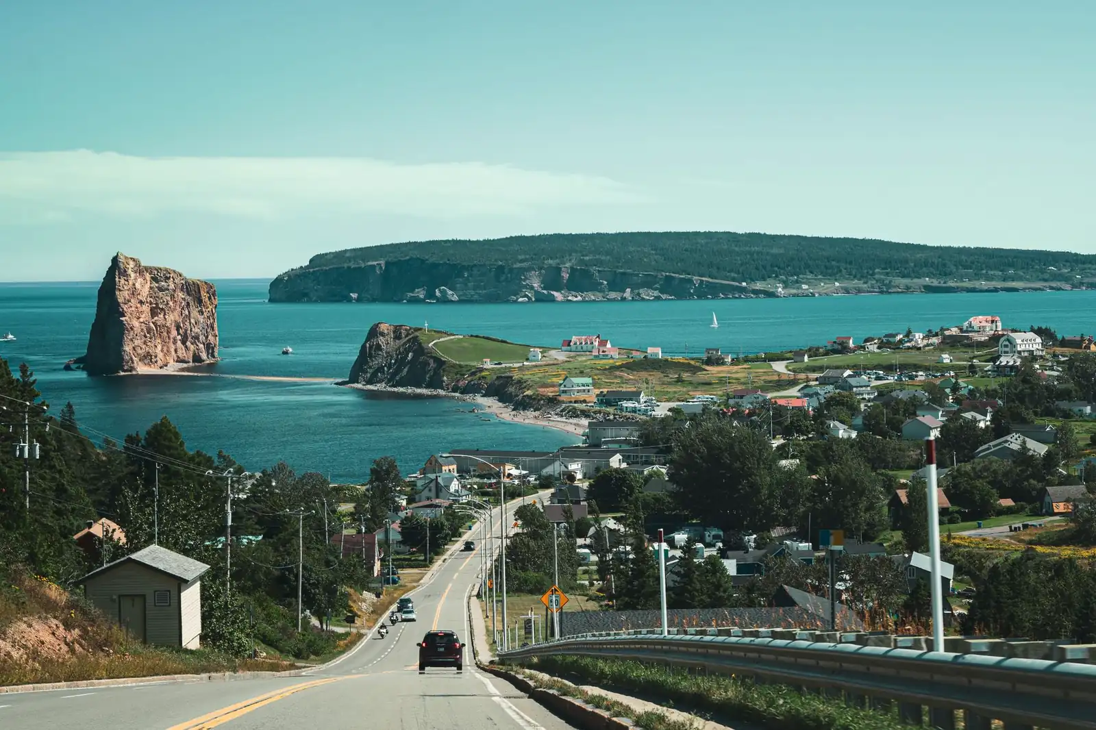
- Don't plan to walk out to Percé Rock — the sandbar looks walkable at low tide, but it's closed for rockfall safety; boat tours and the Bonaventure Island crossing are how you actually get close to it.
- Bring a passport and expect French first — this is the blog's other Canada-border loop, and Gaspésie is overwhelmingly francophone outside the biggest tourist stops.
What a Gaspé Peninsula road trip actually is
The Gaspé Peninsula (Gaspésie in French) is the finger of land that separates the Gulf of St. Lawrence from Chaleur Bay in eastern Quebec, and Route 132 is the highway that traces its entire outline. Unlike a lot of the loop drives on this blog, this isn't a short signature stretch with a support network of interstates nearby — it's a full multi-day circuit through a region that stays rural and lightly populated almost the whole way around, with the Chic-Choc Mountains (the northeastern end of the Appalachians) rising directly from the St. Lawrence shoreline for long stretches of the north coast.
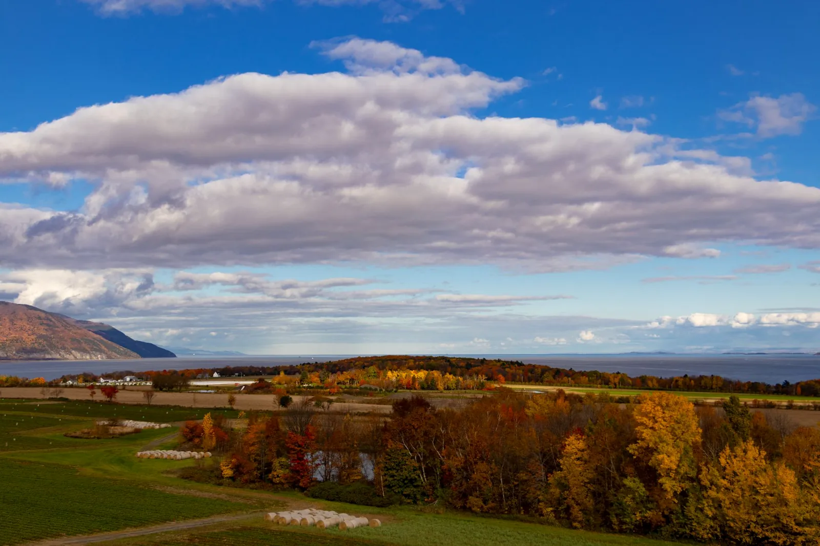
The appeal is the range packed into one loop: a tidal estuary that's practically an inland sea on the north shore, whale-friendly water off the peninsula's tip, one of the most photographed sea stacks in North America at Percé, and a warmer, gentler south shore along Chaleur Bay before the highway turns inland through a salmon-river valley to close the circle. Add a genuine mountain interior — a park with hiking above treeline and its own endangered caribou herd — and it's a loop with more ecological variety than its length alone suggests.
The Route 132 loop, leg by leg
Most people start and end near Sainte-Flavie or Mont-Joli, where Route 132 splits from the main highway corridor along the lower St. Lawrence and begins the loop proper. The distance — commonly cited at around 885 km by Quebec's tourism authorities — varies a bit depending on exactly where you consider the loop to start and end, since it connects back into the regular highway network at both ends rather than closing on itself the way an isolated scenic byway would.
| Leg | Character | Don't-miss stops |
|---|---|---|
| Sainte-Flavie/Mont-Joli → Sainte-Anne-des-Monts | The north shore along the widening St. Lawrence estuary, with the Chic-Chocs beginning to crowd the road | Jardins de Métis (Reford Gardens), Matane, the Cap-Chat wind-turbine coast |
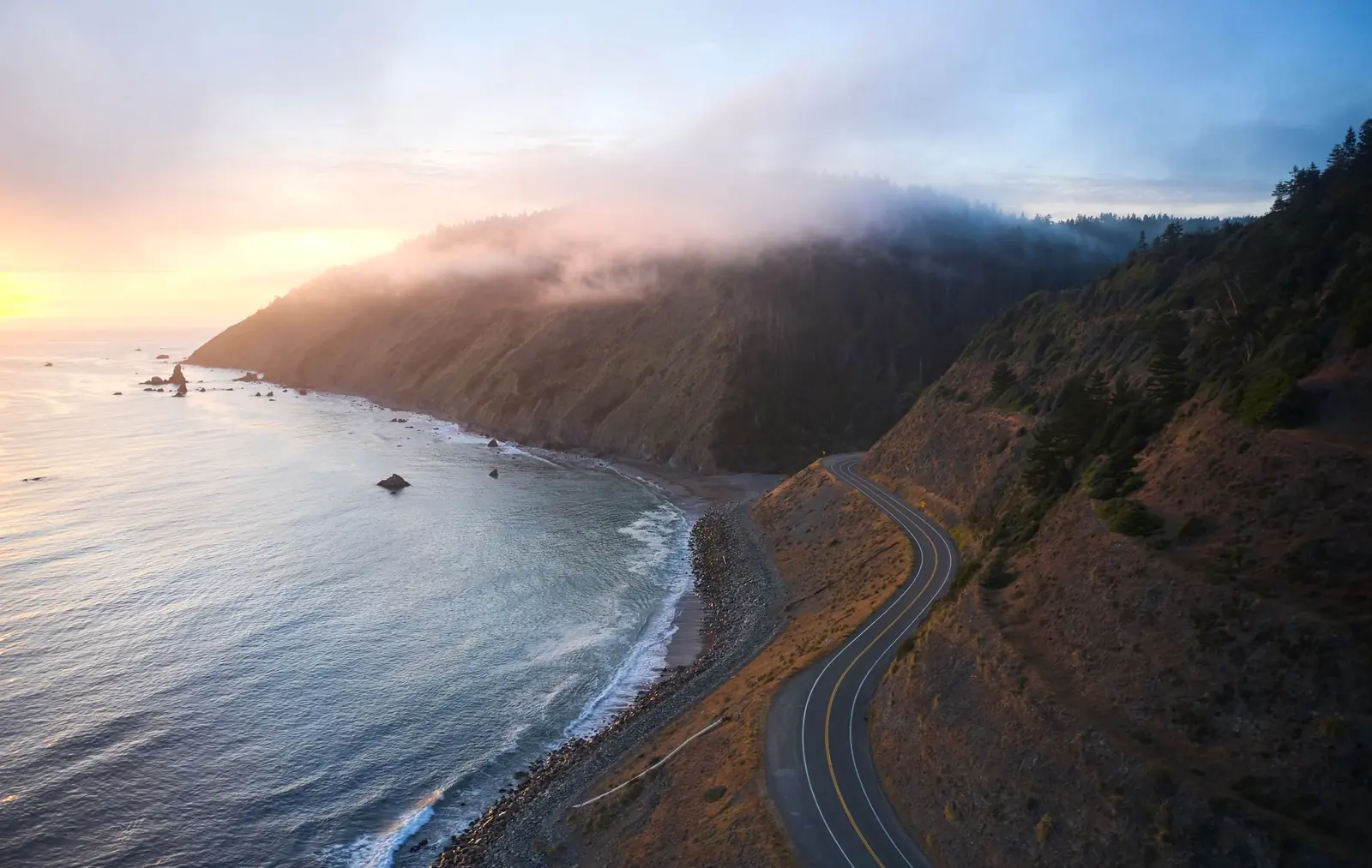
| Sainte-Anne-des-Monts → Gaspé | Mountains meet saltwater — the most dramatic driving on the loop, with the road pinned between cliffs and the Gulf | Mont-Saint-Pierre hang-gliding cliffs, small fishing villages, the approach to Forillon |
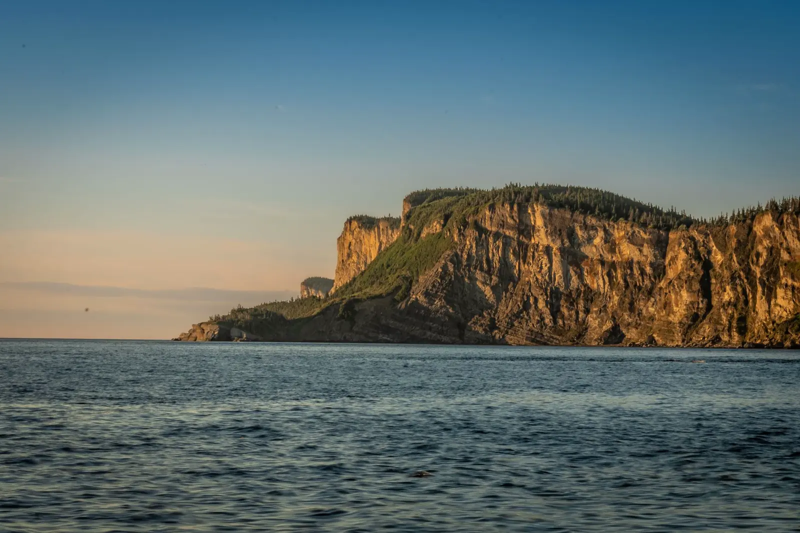
| Gaspé → Forillon → Percé | The peninsula's tip: a national park at land's end, then the turn south to the region's most famous view | Cap Gaspé lighthouse trail, Forillon's coastal cliffs, Percé Rock and Bonaventure Island |
| Percé → Chaleur Bay towns (Chandler, New Richmond, Carleton-sur-Mer) | The south shore — warmer, calmer water and a noticeably softer coastline than the north side | Carleton's Mont Saint-Joseph viewpoint, Chaleur Bay beaches, Miguasha's fossil cliffs further west |
| Chaleur Bay → Matapédia Valley → back to Sainte-Flavie/Mont-Joli | The inland return leg, following the Matapédia and Restigouche salmon rivers away from the coast | Matapédia Valley covered bridges, Atlantic salmon pools, the Matapédia–Restigouche confluence at the New Brunswick border |
None of these legs demands technical driving — Route 132 is a well-maintained two-lane highway the whole way — but the north-shore stretch between Sainte-Anne-des-Monts and Gaspé is the one with real elevation change and cliffside curves, so budget extra time there rather than treating every leg as interchangeable.
The interior shortcut: Route 299 through the Chic-Chocs
If the full coastal loop doesn't fit your schedule, Route 299 cuts straight across the peninsula's mountainous middle — about 137 km connecting Sainte-Anne-des-Monts on the north coast to New Richmond on Chaleur Bay, running the entire length of Parc national de la Gaspésie. It's a genuinely different kind of drive from the coastal legs: isolated, thinly settled, and locally known as "la route du Parc," climbing into the Chic-Choc range instead of skirting the water. Taking it turns the trip from a full loop into a there-and-back-different-ways route, roughly halving the driving without giving up the peninsula's two most distinct landscapes — coast and alpine interior.
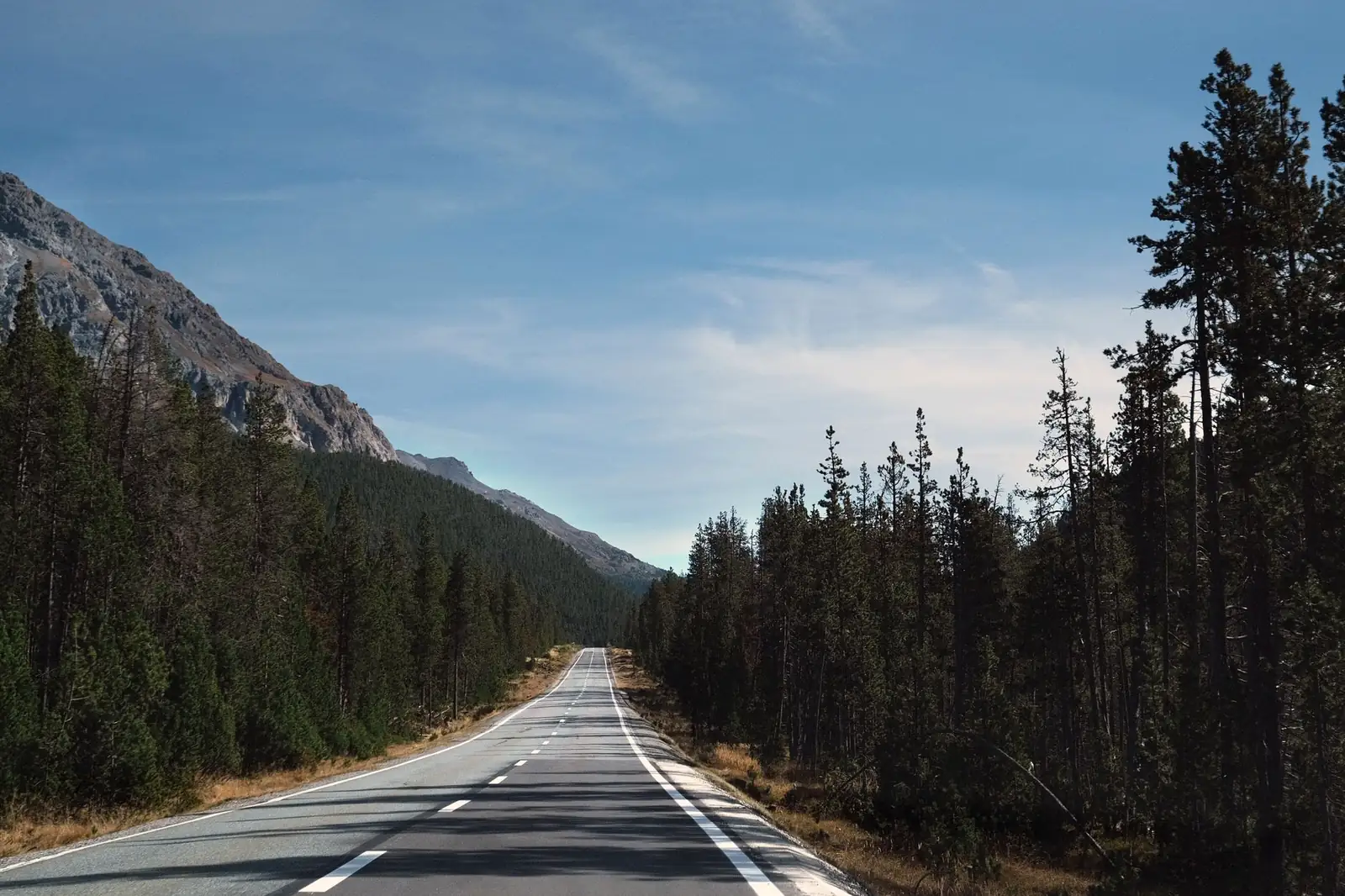
Parc national de la Gaspésie, which Route 299 runs straight through, is a Sépaq-managed provincial park (a separate system from Forillon's federal Parks Canada status) with a modest day-use access fee — check Sépaq's current parks pricing page before you go, since Sépaq revises its parks fee schedule each year. The park's signature hike is Mont Jacques-Cartier, the highest peak in southern Quebec and essential habitat for the province's southernmost, endangered woodland caribou herd; access is seasonal and restricted to protect the animals, with off-trail travel prohibited, so confirm the current trail schedule with Sépaq rather than assuming last year's dates still apply. Route 299 itself is remote enough that it periodically closes for winter storms — treat it as a fair-weather shortcut, not a guaranteed one, and fuel up at Sainte-Anne-des-Monts or New Richmond before committing to it, since there's essentially nothing in between.
Forillon and Percé: the peninsula's tip, done right
Forillon National Park occupies the easternmost point of the peninsula, where the Chic-Chocs finally drop into the Gulf of St. Lawrence in a run of coastal cliffs and cobble beaches. It's a Parks Canada site with a peak-season daily admission of $10 per adult and $19.50 per family or group, per the park's fees page (updated January 19, 2026, checked August 2026). Admission is free during the Canada Strong Pass window, June 19 through September 7, 2026 — the same window that covers Cabot Trail and the Icefields Parkway, this blog's other Canada border-crossing loop. The Cap Gaspé trail to the peninsula's actual easternmost tip and lighthouse is the park's signature walk, and whale sightings do happen off the point in summer, though Forillon isn't a dedicated whale-watching hub the way the St. Lawrence estuary further north is — treat any sighting as a bonus, not the plan.
Percé, just south of Forillon, is built around a single landmark: Percé Rock, a limestone monolith standing offshore with a natural arch cut through one end. At low tide a sandbar appears to connect the rock to shore, and it's a common misconception that you can walk out to it — you can't, and shouldn't try. Per Tourisme Gaspésie's own visitor guidance, the site sheds rock constantly and walking on the sandbar or the surrounding cliffs is prohibited for exactly that reason, and the safe ways to see it are from the Percé wharf and the Promenade de la Grave, the Mont-Joli lookout above town, or a licensed boat tour that circles the rock and continues to Bonaventure Island. That island holds one of the most accessible large northern gannet colonies anywhere, with tens of thousands of birds nesting on its cliffs; boat operators typically run the crossing from late May or early June into mid-October, with the season's exact opening and closing dates set by individual operators — confirm current sailing dates and fares before building a fixed itinerary around the island.
When to drive the Gaspé Peninsula loop
Summer — June through September — is when the loop actually works: Route 299 and Mont Jacques-Cartier's trail are open, Bonaventure Island boat tours are running, and the seasonal gardens and festivals along the route are in full swing. July and August are peak season for lodging in Percé and along Chaleur Bay, so book ahead rather than arrive hoping for a room. September trades a little crowding for cooler weather and the start of fall color in the Chic-Chocs, while spring is mud season in the interior and a genuinely quiet, workable time on the coastal legs. Winter narrows things sharply: Route 132 stays open and plowed along the coast, but it's a different, more serious kind of drive in a region that gets serious snow off the Gulf, and Route 299 through the park closes to travel at times during winter storms — this becomes a trip for travelers checking conditions day to day, not one to book on a fixed date months out.
How many days the Gaspé Peninsula loop needs
The full 885-km coastal loop is a multi-day undertaking on its own, well before adding stops, hikes, or a boat tour — this is not a route to compress into a long weekend the way a shorter loop drive might be.
| Plan | What it buys |
|---|---|
| 4–5 days | The Route 299 shortcut instead of the full loop — north coast to Forillon and Percé, then straight back across the park interior, skipping the Chaleur Bay leg |
| 7–8 days | The full Route 132 loop at a reasonable pace, with a boat tour to Bonaventure Island and a night or two in Percé |
| 10-plus days | The full loop plus real time in Parc national de la Gaspésie (a Mont Jacques-Cartier hike, not just a drive-through), a slower pass through the Matapédia Valley, and beach time on Chaleur Bay |
As with any loop drive on this blog, the raw distance understates the time it takes: Route 132's curves and small-town speed limits mean it drives slower than the highway-mile math suggests, and the stops — Forillon, Percé, the gardens, the fossil cliffs at Miguasha — are what actually fill the days. Treat the drive-time math from our general road-trip planning guide as a floor, not a target.
Fuel, fees, and the practical layer
Fuel and services: real gaps outside the towns
The coastal towns along Route 132 — Matane, Sainte-Anne-des-Monts, Gaspé, Percé, Chandler, New Richmond, Carleton-sur-Mer — are reliable fuel and food stops, but the stretches between them along the north-shore mountain section run long by regional standards, and Route 299 through the park interior has essentially nothing for its full 137 km. Top off in the anchor towns rather than waiting for a low-fuel warning, especially before either mountain crossing.
Border documents and language
Entering Canada from the US requires the same documents as any other cross-border leg on this blog — see our planning guide's border-crossing checklist rather than assuming a driver's license alone will do. Once across, the practical difference from Cabot Trail or the Icefields Parkway is language: Gaspésie is overwhelmingly French-speaking outside the largest tourist towns, so a translation app or a few key phrases go further here than on this blog's other Canadian routes.
The ferry alternative
The Société des traversiers du Québec runs a year-round ferry between Matane, on the loop's north shore, and Baie-Comeau/Godbout across the St. Lawrence on the Côte-Nord side — a roughly two-hour-plus crossing. It's not part of the Gaspé loop itself, but it's a legitimate way to turn a Gaspésie trip into a bigger north-shore itinerary instead of backtracking the way you came; check current schedules and fares directly with the ferry operator, since sailings shift by season.
Cell coverage and EV charging
Coverage gets thin through the Chic-Choc interior and on Route 299 specifically; download offline maps before leaving the coast. EV charging follows the same pattern as fuel — anchor towns are fine, the mountain crossings are not — so treat any charger you're counting on mid-route the way you'd treat a fuel gap, with real margin rather than a straight-line range estimate.
Gaspé Peninsula road trip FAQ
How long is the Gaspé Peninsula loop?
Roughly 885 km (about 550 miles) following Route 132 around the entire coastline, though the exact figure depends on where you start and end since the highway ties back into the regular network rather than closing on an isolated loop. The Route 299 interior shortcut cuts that distance roughly in half.
Can you walk out to Percé Rock?
No. The sandbar that appears at low tide looks walkable but is closed for safety — the rock sheds material constantly and walking on it or the surrounding cliffs is prohibited. See it from the Percé wharf, the Promenade de la Grave, the Mont-Joli lookout, or a licensed boat tour.
Do you need a passport for a Gaspé Peninsula road trip?
Only if you're crossing the US–Canada border to get there, in which case yes — the same document rules apply as any other border crossing on this blog. Once in Quebec, no further documents are needed to drive the loop itself.
What's the best time of year to drive it?
June through September, when Route 299 and Mont Jacques-Cartier's trail are open, Bonaventure Island boat tours are running, and Chaleur Bay's beaches are usable. July and August are peak season for lodging in Percé — book ahead. Winter is drivable along the coast but requires day-to-day condition checks.
How many days does a Gaspé Peninsula road trip take?
Budget 4–5 days for the Route 299 shortcut (north coast to Forillon and Percé, then back through the park interior), 7–8 days for the full Route 132 loop with a Bonaventure Island boat tour and a night or two in Percé, or 10-plus days to add real time in Parc national de la Gaspésie, the Matapédia Valley, and Chaleur Bay's beaches.
Turning this into your own Gaspé Peninsula loop
Start by deciding whether you're driving the full 885-km coastal loop or taking the Route 299 shortcut through the park interior — that single choice sets whether you need five days or ten. Book Percé lodging and any Bonaventure Island boat tour first, since they're the trip's tightest bottlenecks in peak season, then sketch the loop in the planner with Forillon, Percé, and the Chic-Choc interior as their own waypoints rather than a single blurred coastline. Few loops on this blog pack a tidal estuary, a mountain range, an endangered caribou herd, and a warm-water bay into one circuit — the trade-off is that it takes real days to earn all four.