An Olympic Peninsula road trip is one of the only drives in North America where a single numbered highway closes its own loop: US 101 leaves Olympia, circles the entire Olympic Peninsula, and comes back to Olympia without ever needing a connector road. In roughly 330 miles it strings together a glacier-carved lake, a temperate rainforest that gets more rain than almost anywhere else in the country, driftwood-strewn Pacific beaches, and a mountain pass with ocean views — plus three worthwhile spur roads that aren't part of the loop at all. Here's how the loop breaks down leg by leg, which spurs are worth the detour, the honest pacing, and the current status of the roads and facilities that change from one season to the next.
The Olympic Peninsula loop, in four decisions
- Drive the loop counterclockwise or clockwise — it doesn't matter, but decide up front which of the three spur roads (Hurricane Ridge, Sol Duc, Hoh Rain Forest) you're adding, since each one is a half-day out-and-back off the main highway.
- Fill up in Port Angeles, Forks, or Aberdeen — the west side of the loop has long stretches with no gas between towns.
- Don't expect a visitor center at Hurricane Ridge — the historic lodge burned down in 2023 and its replacement is still years from breaking ground.
- Budget a long weekend for the loop alone, a full week to add all three spurs and hike a little — the driving is easy, the stops are what eat the clock.
What an Olympic Peninsula road trip actually is
The Olympic Peninsula sits in Washington's far northwest corner, cut off from the Seattle side of Puget Sound by water on three sides and ringed by US 101, which loops all the way around it. Unlike most of the "loop drives" on this blog, this one isn't a signed scenic byway stitched together from several highways — it's a single U.S. route that happens to form a closed circle, something almost no other numbered highway in the country does. Inside that loop sits Olympic National Park, but the park isn't one contiguous block; it's an odd, fractured shape with a mountainous core plus a separate, narrow coastal strip, so the highway spends some stretches inside park boundaries and others passing through national forest, tribal lands, and small logging and fishing towns.
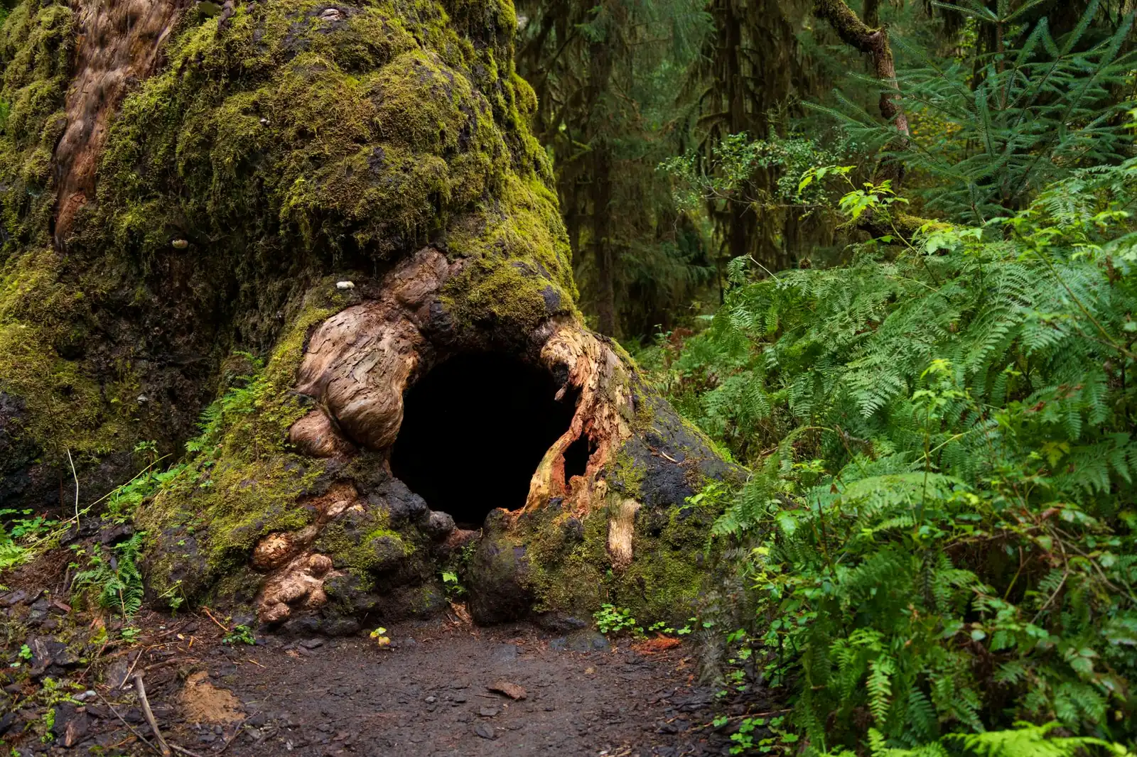
That geography is the whole appeal. In one loop you get glacier-fed Lake Crescent, a rainforest valley wet enough to grow moss on everything including the air, a genuinely wild Pacific coastline with sea stacks and driftwood logs the size of school buses, and — on a clear day, from the Hurricane Ridge spur — a view that takes in both saltwater and snowfields. No other drive on this blog packs that much climate variety into a single, drivable circuit.
The Olympic Peninsula loop, leg by leg
US 101 around the peninsula breaks into five legs with distinct character. None of them is dramatically harder to drive than the others — this is a peninsula loop with a fair number of curves, not a mountain pass — but each has its own reason to slow down.
| Leg | Character | Don't-miss stops |
|---|---|---|
| Port Townsend → Sequim → Port Angeles | Rolling farm country and a dry, rain-shadowed stretch — the driest corner of an otherwise soggy peninsula | Port Townsend's Victorian waterfront, Dungeness Spit, the Elwha River valley |
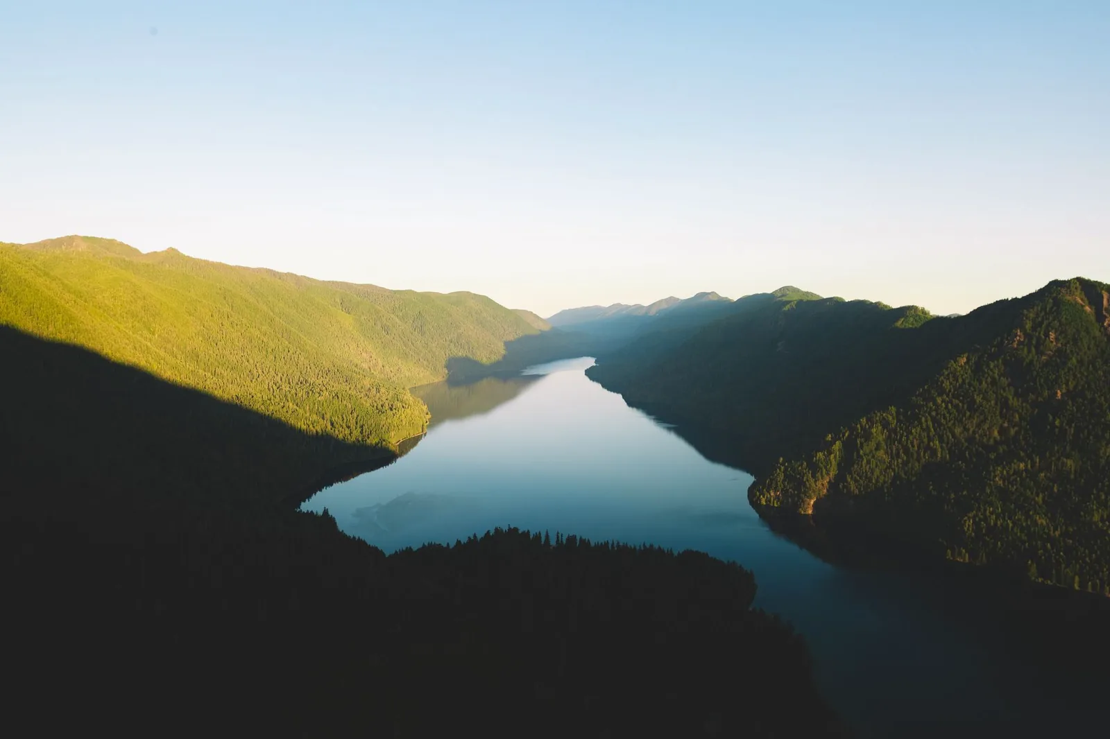
| Port Angeles → Lake Crescent → Sol Duc junction | The highway hugs a glacially carved lake so clear and cold it barely supports algae | Lake Crescent Lodge, Marymere Falls, the Sol Duc Road turnoff |
| Forks and the west-end rainforests | A former logging town turned gateway to the wettest corner of the contiguous US | Hoh Rain Forest spur, Rialto Beach, La Push |
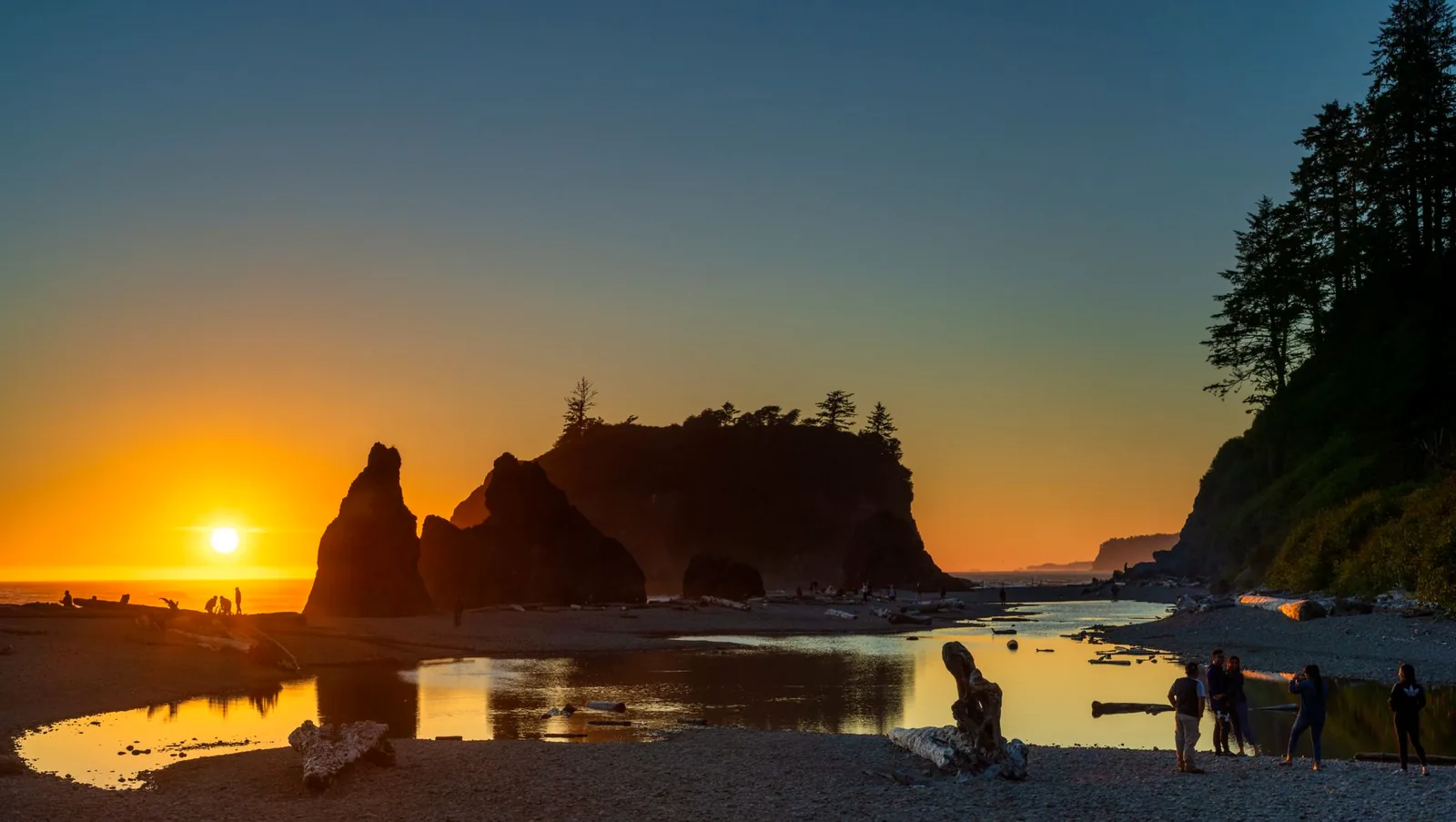
| Ruby Beach → Kalaloch → Lake Quinault | The coastal strip — pull-offs onto open Pacific beach, then inland to old-growth rainforest around a second glacial lake | Ruby Beach's sea stacks, Kalaloch's driftwood beach, the Quinault Rain Forest loop drive |
| Aberdeen → Hood Canal → back to Port Townsend/Sequim | The quiet return leg, along Hood Canal's eastern shore | Staircase spur near Hoodsport, the Hood Canal Bridge |
The three big detours — Hurricane Ridge, Sol Duc, and the Hoh Rain Forest — all branch off this main loop rather than sitting on it, which is the single most common planning mistake: treat the drive-time map at face value and you'll assume the loop takes a day, when in practice each spur adds a half day of its own.
Hurricane Ridge: still worth it, still without a visitor center
Hurricane Ridge is the peninsula's best view — a subalpine meadow at around a mile of elevation with the Olympic Mountains on one side and the Strait of Juan de Fuca and Vancouver Island on the other, reached by a paved spur road out of Port Angeles. It's also the site of an ongoing rebuild that's easy to plan around wrong. The historic Hurricane Ridge Day Lodge burned down in a May 2023 fire, and as of early 2026 the replacement project is still in the conceptual design phase — a design contract was awarded in September 2025 and geotechnical surveys followed that October, with construction not expected to start before 2028 at the earliest, per the park's own Day Lodge reconstruction project page (updated January 24, 2026, checked August 2026). In the meantime, per the park's Hurricane Ridge visiting page (updated May 2026, checked August 2026), what's actually up there is temporary trailers with restrooms and a visitor-contact station — no indoor gift shop, no café, no warming hut. Bring your own food and layers.
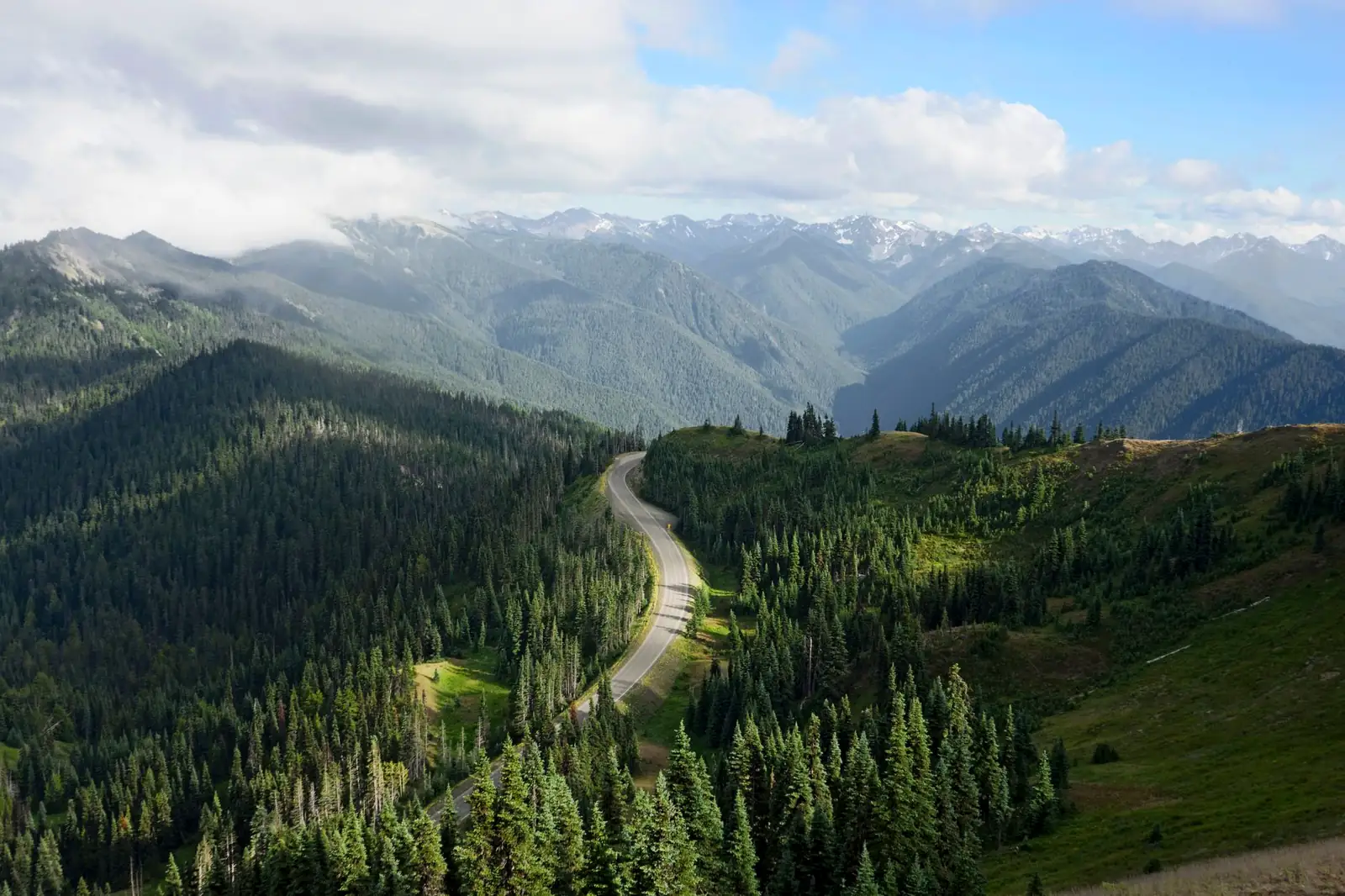
The road itself is open seasonally: per the park's winter access page (updated April 2026, checked August 2026), from roughly December through March it's plowed and open to uphill traffic only Friday through Sunday and some holidays, 9 a.m. to 4 p.m., weather and conditions permitting; tire chains are typically required. The rest of the year it's open daily, conditions permitting. As of the park's current road-status page (updated August 7, 2026, checked August 2026), Hurricane Ridge Road was open — that page is the one to re-check the week you go, since mountain roads here close on short notice for weather.
Sol Duc and the Hoh Rain Forest: the other two spurs
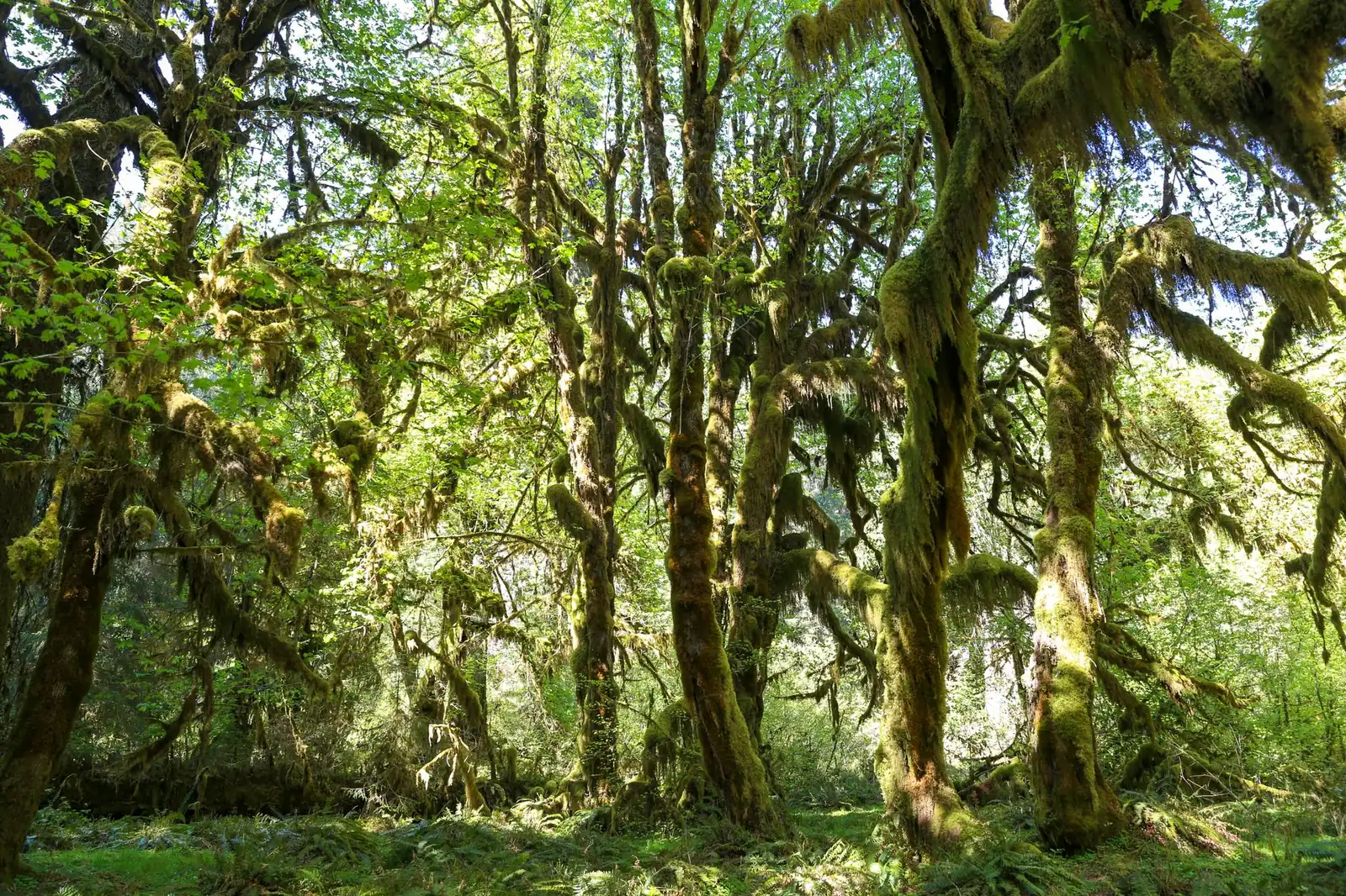
Sol Duc Road climbs about 14 miles off US 101 to Sol Duc Hot Springs and the trailhead for Sol Duc Falls — a paved, moderate drive with none of Hurricane Ridge's elevation drama, good for a shorter half-day detour. The Hoh Rain Forest spur runs about 18 miles off the highway near Forks to the Hoh Rain Forest Visitor Center, the easiest access point into the peninsula's most famous old-growth valley: moss-draped bigleaf maples, ferns waist-high, and a canopy dense enough to dim midday to dusk. The Hoh Valley is one of the wettest places in the contiguous US, commonly cited at somewhere around 140 to 170 inches of rain a year — bring a real rain jacket even in a "dry" month, because dry here is relative. Both spur roads were listed as open on the park's current road-status page as of its August 7, 2026 update (checked August 2026); both have flooded or washed out in past winters, so that page — not this one — is the source to trust on the week you actually drive.
Neither spur has gas, and the Hoh Rain Forest Visitor Center's own hours shrink outside summer — it's open daily in peak season and only Friday through Sunday in spring and fall, per the park's visitor-center information. Plan the spur as a there-and-back from Forks, not as a lunch stop with services.
When to drive the Olympic Peninsula loop
Summer — roughly July through September — is when the coast and rainforest come closest to "dry," the spur roads are reliably open, and Hurricane Ridge is accessible daily instead of on a weekends-only winter schedule. It's also peak season for every campground and lodge on the peninsula, so book ahead rather than assuming a spot at Lake Quinault Lodge or the Kalaloch beachfront cabins will be waiting. Spring and fall are quieter and genuinely rainier, but the rainforest and coast were built for this weather — a misty November morning at Ruby Beach or in the Hoh Valley is arguably the more honest version of the place than a sunny August afternoon crowded with cars. Winter narrows things further: Hurricane Ridge Road runs a limited weekend schedule, and the spur roads carry a real chance of weather closures, so this becomes a trip for travelers willing to check conditions daily rather than book a fixed itinerary months out.
How many days an Olympic Peninsula loop needs
The loop's roughly 330 miles are easy driving on their own — well under a full day nonstop — which is exactly why it's easy to underplan. The spurs, the beach walks, and the rainforest trails are where the days actually go:
| Plan | What it buys |
|---|---|
| Long weekend (3 days) | The full loop plus one spur — most people pick Hurricane Ridge or the Hoh Rain Forest, not both |
| 5 days | The loop plus all three spurs, with a beach stop at Ruby Beach or Kalaloch and one night on the coast instead of doing it all from Port Angeles or Forks |
| 7-plus days | All of the above at a real pace, with time for a rainforest hike, the Lake Quinault loop drive, and a slower morning at Lake Crescent rather than a drive-by |
The same lesson applies here that governs any scenic-road pacing question on this blog: the odometer says one thing, the actual day says another. Treat the drive-time math from our general road-trip planning guide as a floor, not a target, and build slack into every spur road day.
Fuel, fees, and the practical layer
Fuel: the west side has real gaps
Port Angeles, Forks, and Aberdeen are the three reliable fuel anchors on the loop; the stretches between Lake Crescent and Forks, and between Forks and the Kalaloch/Lake Quinault area, run long by Pacific Northwest standards with nothing in between. Top off at each anchor town rather than waiting for the needle to get low — this is the same fuel-gap discipline that matters on remote western routes like the Loneliest Road in America, just wetter.
What it costs
Olympic National Park charges a per-vehicle entrance fee — $30 for a private vehicle, $25 for a motorcycle, $15 per person on foot or bicycle, all good for seven consecutive days, or $55 for an annual park pass, per the park's fees page (updated December 19, 2025, checked August 2026). One pass covers the whole loop and every spur for the week, so buy it once at your first entrance station rather than per stop.
Ferries and an alternate closing leg
The loop's south end runs through Olympia and Aberdeen by land, but Washington State Ferries also connects the peninsula's north side to the Seattle side of Puget Sound at a couple of points (Port Townsend–Coupeville, and further east Edmonds–Kingston and Seattle–Bainbridge). None of these are required to complete the loop, but they're a legitimate way to shorten a Seattle-based trip into a there-by-ferry, back-by-highway shape instead of a full circle — check current Washington State Ferries schedules and fares before building a ferry leg into your dates, since sailing schedules shift by season.
Cell coverage and EV charging
Coverage drops out through the rainforest valleys and much of the coastal strip; download offline maps before leaving Port Angeles or Forks. EV charging is thin on the west side of the loop specifically — plan around Port Angeles and Aberdeen as charging anchors and treat the Forks-to-Kalaloch stretch the way you would a fuel gap, with a real buffer rather than a straight-line range estimate.
Olympic Peninsula road trip FAQ
How long is the Olympic Peninsula loop?
Roughly 330 miles following US 101 all the way around, not counting any of the three spur roads (Hurricane Ridge, Sol Duc, Hoh Rain Forest). The driving itself is well under a day; the stops are what turn it into a multi-day trip.
Is there a visitor center at Hurricane Ridge?
Not currently. The historic Day Lodge burned down in May 2023, and as of early 2026 its replacement is still in the design phase, with construction not expected before 2028 at the earliest. What's there now is temporary trailers with restrooms and a contact station — bring your own food.
Do you need a park pass to drive the Olympic Peninsula loop?
Only for the parts that enter Olympic National Park, including the Hurricane Ridge, Sol Duc, and Hoh Rain Forest spurs and several coastal areas. The standard fee is $30 per vehicle for seven days, or $55 for an annual pass — buy it once at your first entrance station.
What's the best time of year to drive it?
Summer (roughly July through September) is driest and gives full access to every spur road and Hurricane Ridge on a daily schedule. Spring and fall are quieter but wetter, and winter narrows Hurricane Ridge to a weekend-only schedule with real closure risk on the spur roads — check current conditions close to your trip regardless of season.
Turning this into your Olympic Peninsula road trip
Start by picking which spurs you're actually driving — Hurricane Ridge, Sol Duc, the Hoh Rain Forest, or all three — because that decision, more than the loop itself, sets how many days you need. Check the park's current road-status page and the Hurricane Ridge winter-access page in the week before you leave, since this is a peninsula where a spur road or a mountain pass can close on short notice. Then sketch the loop in the planner with each spur as its own waypoint rather than a side note, fill up at the three anchor towns, and build the trip around the fact that this is the one loop on this blog where you can stand in a rainforest and a subalpine meadow on the same afternoon.