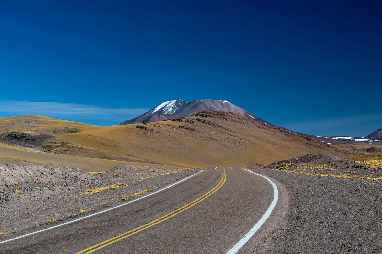
A Trail Ridge Road trip crosses the highest continuous paved road in the United States — 48 miles of US 34 across Rocky Mountain National Park, Colorado, climbing to 12,183 feet and staying above 11,000 feet for eight of those miles. It connects Estes Park on the park's east side to Grand Lake on the west, over a summit where trees stop growing and the road runs through open tundra instead. Here's what the drive actually looks like end to end, the gravel one-way alternate most visitors skip, the 2026 timed-entry rules that decide when you can enter the park at all, and honest pacing for a trip built around it.
Trail Ridge Road, in four decisions
- Book a timed-entry reservation before you go — Rocky Mountain National Park requires one from 9 a.m. to 2 p.m. daily, May 22 through mid-October 2026, and it's a separate system from the shuttle-based one Glacier and Zion use.
- Check that the road is fully open — Trail Ridge Road is snowed shut roughly mid-October through late May, and the exact opening date moves every year with snowpack.
- Decide if you're adding Old Fall River Road — a 9.4-mile, one-way, mostly gravel alternate up the same headwall, open only from around July through early fall.
- Fill the tank before you start — there is no gas inside the park, and the drive between Estes Park and Grand Lake is a long way to run low.
What a Trail Ridge Road trip actually is
Trail Ridge Road is the 48-mile stretch of US 34 that crosses Rocky Mountain National Park between Estes Park and Grand Lake, and it holds a genuine superlative: it's the highest continuous paved through-highway in the country, topping out at 12,183 feet. Crews built it in stages between 1929 and 1932, reaching Fall River Pass first and pushing the final link down to Grand Lake by 1938 — working with only a four-month season each year before permafrost and snow shut the job down, and salvaging tundra sod to lay back over the road banks rather than leaving bare scars. The road's maximum grade never exceeds seven percent, but eleven of its miles sit above 11,500 feet, where there are no guardrails on much of the shoulder and the pavement runs straight across open alpine tundra instead of through switchback forest like most mountain passes on this blog.
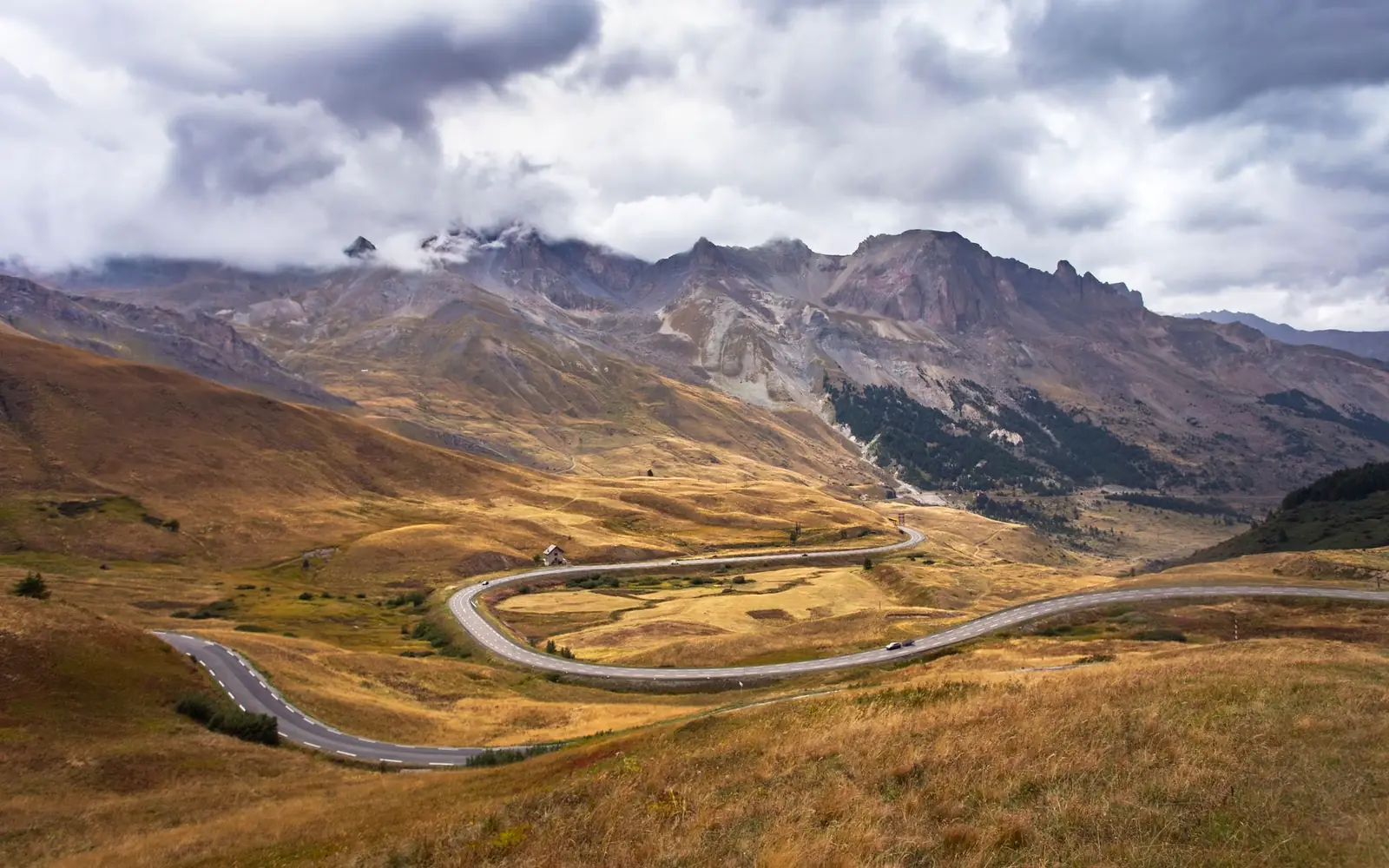
The high point of the drive isn't at the Continental Divide, which the road actually crosses lower down, at Milner Pass — commonly cited at just under 10,800 feet. The true summit is a few miles east of the Alpine Visitor Center, which itself sits at 11,796 feet and holds its own title as the highest visitor center in the National Park System. That's the other thing that separates Trail Ridge Road from Beartooth Highway or Icefields Parkway: it isn't crossing a single dramatic pass so much as riding a long alpine ridge, with the road visible for miles ahead and behind across open tundra.
The route: forest, tundra, forest
Trail Ridge Road breaks cleanly into three stretches, driven from either direction:
| Section | Character | Don't-miss stops |
|---|---|---|
| Estes Park to Rainbow Curve | The climb out of Deer Ridge Junction through subalpine forest, with the views opening in stages | Many Parks Curve, Rainbow Curve overlook |
| Rainbow Curve to the Alpine Visitor Center | The famous part — the road breaks above treeline onto open tundra, with the highway itself visible for miles | Forest Canyon Overlook, the Rock Cut and its short Tundra Communities Trail, the summit stretch near 12,183 ft, Alpine Visitor Center |
| Alpine Visitor Center to Grand Lake | A long descent past Milner Pass and the Continental Divide into the Kawuneeche Valley's lodgepole forest and meadows | Milner Pass, the Colorado River Trailhead (near the river's actual headwaters), Holzwarth Historic Site |
Above treeline, pull well off the pavement before stopping — the shoulders are narrow, there's no barrier between the road and the tundra, and the plants that look like scrubby lawn are alpine tundra vegetation that takes decades to recover from a footprint. That fragility is also why rangers close the Rock Cut's Tundra Communities Trail to off-trail wandering; stay on the paved path even though the tundra looks walkable everywhere.
Old Fall River Road: the one-way gravel alternate
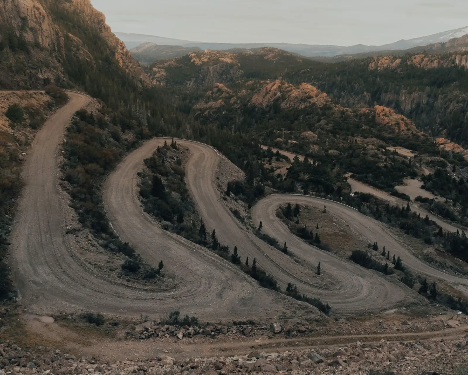
Below the main highway, Old Fall River Road climbs the same headwall by an older, rougher route: 9.4 miles of mostly unpaved switchbacks, one-way uphill only, starting near Endovalley Picnic Area and rejoining Trail Ridge Road at the Alpine Visitor Center. It's the original 1920s road up this side of the park, narrower and slower than Trail Ridge Road, with no guardrails and a posse of switchbacks that reward a low gear more than speed. The park prohibits vehicles over 25 feet and anything towing a trailer, and the road runs a shorter season than Trail Ridge Road itself — typically open from around Independence Day into early fall, weather permitting, per the park's own road status page. Driving up Old Fall River Road and back down Trail Ridge Road is the closest thing this park has to a loop, and it's the detour worth the extra hour if your dates fall inside its short window.
The 2026 timed-entry rules
Rocky Mountain National Park runs its own timed-entry system, separate from — and structured differently than — the systems at Glacier or Zion. Per the park's own 2026 announcement (published February 18, 2026), there are two permit types running May 22 through mid-October 2026:
- Timed Entry. Required 9 a.m. to 2 p.m. daily to enter the park outside the Bear Lake Road corridor — this is the permit that covers driving Trail Ridge Road and Old Fall River Road. It runs through October 13, 2026.
- Timed Entry+ Bear Lake Road. Required 5 a.m. to 6 p.m. daily for the separate, more heavily visited Bear Lake corridor, and it also covers entry to the rest of the park. It runs through October 18, 2026.
Both permits book through Recreation.gov for a $2 processing fee, on a rolling monthly release: reservations for late May and June opened May 1, and each subsequent month releases on the first of the prior month (July on June 1, and so on through September 1 for October). Reservations give a two-hour entry window with no set departure time — once you're in, you can stay the day. Outside the 9-to-2 (or 5-to-6, for Bear Lake) windows, no reservation is needed to enter. Rules like this change from year to year at nearly every marquee park on this blog, so treat the dates above as this year's version and check the park's own current page before booking beds around them.
When Trail Ridge Road is open
Trail Ridge Road is closed to through travel for roughly half the year — normally from mid-October until the last week of May, per the park's own road status page (updated July 16, 2026), which also carries the standing caveat that "temporary road closures can go into effect at any time, based on weather and conditions" even inside that window. Spring plowing alone typically takes around six weeks once crews start, and the exact opening date shifts with that year's snowpack — some years it's ready by Memorial Day weekend, other years later. In 2026 the park's own release confirmed the road was open for the season by May 29. Once open, expect the possibility of snow, wind, and afternoon thunderstorms above treeline in any month, including July and August — the same high-alpine rhythm that governs Beartooth Highway and Icefields Parkway: start early, and don't linger at the tundra overlooks once clouds start building over the peaks.
How much time a Trail Ridge Road trip needs
| Plan | What it buys |
|---|---|
| Half day, out-and-back from Estes Park | Drive up to the Alpine Visitor Center and back, with stops at Rainbow Curve and the Rock Cut — enough for the headline scenery without committing to Grand Lake |
| Full day, Estes Park to Grand Lake and back | The full 48 miles each way with stops on both legs, or one-way with a night in Grand Lake before returning |
| 2–3 days, a real Rocky Mountain National Park trip | Trail Ridge Road as one day, plus a Bear Lake Road corridor hiking day (its own timed-entry permit) and time in Estes Park or Grand Lake |
The drive itself takes roughly two hours without stops, but almost nobody drives it without stops — the tundra pullouts are frequent, and the Alpine Visitor Center alone is worth thirty minutes. Budget a half day at minimum, and don't schedule the drive as a quick add-on to a Denver day trip; the road deserves unhurried mornings, which is also when the light and the wildlife are both better.
Fees, fuel, and the practical layer of a Trail Ridge Road trip
What it costs in 2026
Per the park's own fees page (updated December 9, 2025), entrance runs $30 per vehicle for one day or $35 for seven days, $25/$30 for a motorcycle, and $15/$20 per pedestrian or cyclist; an annual Rocky Mountain National Park pass is $70, and the park is cashless at the gates. One fact worth knowing if you're planning around it: starting in 2026 the park added a $100-per-person nonresident surcharge for visitors who aren't US citizens or permanent residents, on top of the standard entrance fee — a rule this blog hasn't seen at any other route's park entrance, so international travelers should read the fees page directly rather than assume the US-resident numbers above apply.
Fuel and altitude
There's no gas inside Rocky Mountain National Park. Fill up in Estes Park or Grand Lake before you start, especially if you're doing the full crossing — it's not a short no-services stretch by the standards of, say, the Beartooth Highway, but it's still 48 miles with nothing open along the way. Altitude is the bigger practical concern: eleven miles of the drive sit above 11,500 feet, high enough that some visitors feel it — mild headache, shortness of breath on short walks at the Rock Cut or the visitor center. Layer up regardless of the season; a warm morning at Estes Park's roughly 7,500 feet can be windy and near freezing at the summit.
Where to sleep, and wildlife to watch for
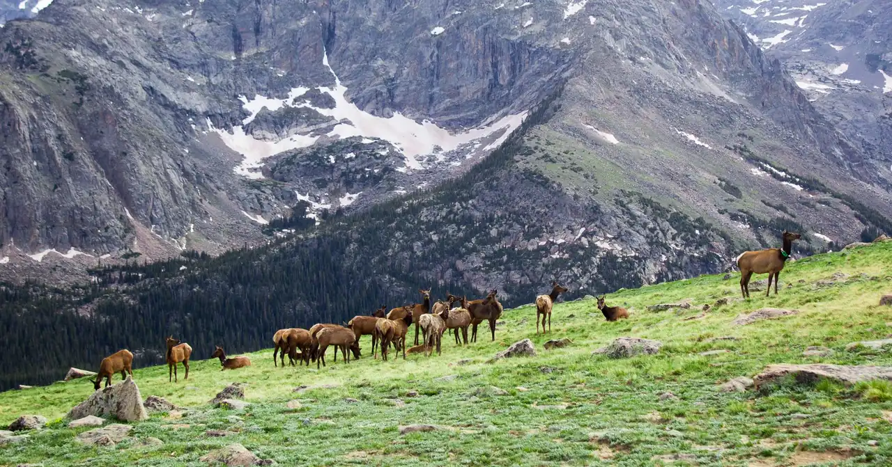
Estes Park is the larger, better-supplied gateway on the east side; Grand Lake is smaller and quieter on the west, with a shorter season for many of its businesses. Both fill up in summer, and the same booking-window logic in our road-trip planning guide applies here — book beds well ahead for July and August. If your dates land in late September or early October, the park's elk rut in Moraine Park and Horseshoe Park (lower down, off Trail Ridge Road itself) is a genuine reason to add a day — just weigh it against the road's rising odds of an early-season closure that same week.
Trail Ridge Road FAQ
Do you need a reservation to drive Trail Ridge Road?
Yes. Rocky Mountain National Park requires a Timed Entry reservation to enter the park 9 a.m. to 2 p.m. daily from May 22 through mid-October 2026, and that permit covers Trail Ridge Road and Old Fall River Road. Outside those hours, no reservation is needed. The separate Bear Lake corridor uses its own permit with different hours.
When is Trail Ridge Road open?
Trail Ridge Road is typically closed to through travel from mid-October until the last week of May, with the exact dates shifting each year based on snowpack and spring plowing progress. Check the park's own road status page the week you travel — it also warns that temporary closures can happen even in season.
How high does Trail Ridge Road go?
Trail Ridge Road climbs to 12,183 feet, making it the highest continuous paved through-highway in the United States. Eleven miles of the route sit above 11,500 feet, and the Alpine Visitor Center along the way, at 11,796 feet, is the highest visitor center in the National Park System.
Is Old Fall River Road worth driving too?
If your dates fall inside its short season — roughly early July into early fall — yes. It's a one-way, mostly gravel, 9.4-mile alternate up the same headwall that Trail Ridge Road climbs, ending at the Alpine Visitor Center, where you continue back down on the paved road. It's closed to trailers and vehicles over 25 feet.
How much does it cost to drive Trail Ridge Road?
Entrance to Rocky Mountain National Park costs $30 per vehicle for one day or $35 for seven days, $25 or $30 for a motorcycle, and $15 or $20 per pedestrian or cyclist; an annual park pass is $70. Starting in 2026, the park also charges a $100-per-person nonresident surcharge for visitors who aren't US citizens or permanent residents.
How long does it take to drive Trail Ridge Road?
The drive itself takes roughly two hours without stops, but almost nobody drives it without stops — the tundra pullouts are frequent and the Alpine Visitor Center alone is worth thirty minutes. Budget a half day at minimum for the full crossing.
Turning this into your Trail Ridge Road trip
Planning a Trail Ridge Road trip means locking two things down before anything else: a Timed Entry reservation on Recreation.gov for the date you want, and a rough sense of whether the road is fully open yet if you're going early or late in the season. From there, decide whether Old Fall River Road's short window lines up with your dates, and whether this is a half-day detour from a Denver trip or the spine of two or three days based in Estes Park or Grand Lake — the seasonal-closure logic and booking-window rules in our road-trip planning guide apply in full here, and the high-alpine weather caution has a lot in common with the Beartooth Highway and Glacier's Going-to-the-Sun Road, the two other roads on this blog that spend real mileage above treeline. Then sketch the drive in the planner, fill the tank in Estes Park or Grand Lake, and start early — the tundra rewards mornings more than any other stretch of pavement on this blog.