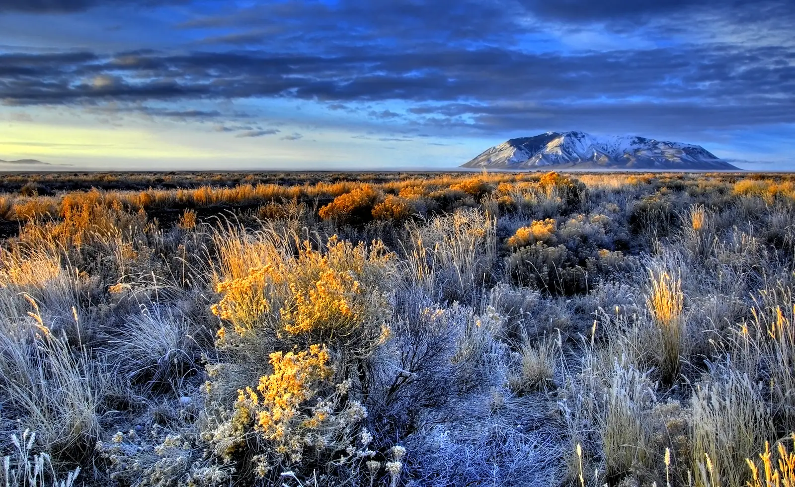
US Route 20 is the longest road in America — about 3,365 miles from Boston, Massachusetts to the Pacific at Newport, Oregon, crossing 12 states without ever getting on an interstate if you don't want to. It's quietly become the answer for drivers who want a coast-to-coast trip without Route 66's crowds and centennial hype: a northern line through the Finger Lakes, the Nebraska Sandhills, Yellowstone, and the lava fields of Idaho. Here's the full route east to west — the honest pacing, the stops worth the detour, and how it stacks up against Route 66.
The longest road in America — Boston to the Oregon coast, no interstate required.
What US Route 20 actually is
US Route 20 is a coast-to-coast federal highway — and, at roughly 3,365 miles, the longest road in the United States, about 900 miles longer than Route 66 was. Unlike Route 66, it was never decommissioned: it's still a signed, drivable US highway from the Atlantic side of Boston to the Oregon coast, running parallel to but well north of the old Mother Road, mostly as two-lane road through small towns rather than interstate.
That's the appeal. Where Route 66 is a southern desert-and-nostalgia drive that now draws centennial crowds, US 20 is a quieter northern line through farm country, the Great Plains, and the northern Rockies — including a run straight through Yellowstone. There's one thing to know up front: the route isn't perfectly continuous. Through Yellowstone National Park the "US 20" designation goes dark for a stretch, so you navigate the park by its own roads and pick the highway back up near West Yellowstone. Everywhere else, you can follow the shield the whole way.
US Route 20 map
The whole route at a glance — eight legs from Boston to the Oregon coast, east to west.
When to go
US 20 crosses the northern tier of the country and climbs through the Rockies and the Cascades, so the season is set by the high country, not the coasts. Aim for late May through October, when Yellowstone's roads and the mountain passes in Wyoming, Idaho, and Oregon are open and clear of snow.
Summer is the safe window and the busiest; September is the sweet spot — Yellowstone thins out, the northern light turns gold, and the eastern half (New York's Finger Lakes, the Midwest) rolls into fall color. Avoid winter for the full route: the Wyoming, Idaho, and Oregon passes see real snow and seasonal closures, and Yellowstone's roads close to cars. If you're driving in the shoulder seasons, check pass and park status before you commit to a day.
Direction, pacing, and logistics
Drive east to west
Go Boston to Oregon. It's the pioneer direction, the landscape builds the right way — coastline to farm country to plains to the Rockies to the Pacific — and you finish standing on a beach at the edge of the continent instead of in a city. Ending in Oregon also drops you onto Highway 101 if you want a coastal encore.
How long it honestly takes
Two weeks is the honest minimum for the full 3,365 miles; three weeks is comfortable. You can technically do it in 10 days, but that's 330+ miles a day on two-lane roads and you'll blow past the reason to take US 20 instead of I-80. If you can't give it two weeks, drive one half — Boston to Chicago, or Yellowstone to the Oregon coast — and save the rest. The daily drive-time caps in our planning guide apply here: the western legs look empty on the map but eat hours.
One-way, and the empty stretches
This is a one-way trip; most people fly into Boston and home from Portland or Eugene (a couple of hours past Newport), with a one-way rental. Fuel up on a schedule out west — eastern Oregon between Burns and Bend, the Nebraska Sandhills, and the Wyoming basin all have long gaps between towns. Cell coverage thins in the same places, so download offline maps for the plains and the mountains.
The US Route 20 itinerary, leg by leg
Coast to coast is too long for a day-by-day, so here it is in eight legs, east to west — each is roughly one to three days depending on how much you stop. Mileages are approximate for the US 20 routing, not the interstate.
Boston, MA → the Finger Lakes, NY
Start where US 20 does, near Kenmore Square in Boston, and head west across Massachusetts. Break at Old Sturbridge Village, a living-history 1830s New England town, then cross into New York and follow US 20 along the ridgelines above the Finger Lakes — Cazenovia and Skaneateles are the classic overnight stops, with lake views and walkable main streets.
Finger Lakes → Cleveland, OH
Detour 20 miles south to Cooperstown for the National Baseball Hall of Fame, then run west across New York and clip the corner of Pennsylvania near Erie, following the Lake Erie shore into Ohio. Overnight in Cleveland — the Rock & Roll Hall of Fame and the lakefront are right on the line.
Cleveland → Chicago, IL
US 20 runs the industrial northern edge of Ohio and Indiana — through Gary and the steel towns — with a worthwhile stop at Indiana Dunes National Park on Lake Michigan before the Chicago skyline. This is a city night: deep-dish, the lakefront, and the Route 66 "Begin" sign downtown, since the Mother Road starts here too.
Chicago → across Iowa (Dubuque & the Mississippi)
West of Chicago, US 20 crosses the Mississippi at Dubuque — where it briefly shares the river with the Great River Road — then runs dead straight across Iowa's rolling farm country through Waterloo and Fort Dodge to Sioux City. It's classic Midwest: grain elevators, river towns, and big sky.
Iowa → the Nebraska Sandhills
In Nebraska, US 20 becomes the Bridges to Buttes byway across the emptiest, prettiest plains on the route. Canoe or tube the Niobrara National Scenic River near Valentine, then push west through the Sandhills to Fort Robinson State Park and the buttes near Chadron — with a short detour to the moonscape of Toadstool Geologic Park.
Nebraska → Cody, WY (via the Bighorn Basin)
Cross into Wyoming and climb toward the Rockies. The highlight is Wind River Canyon south of Thermopolis, where the road threads a thousand-foot gorge to Hot Springs State Park and the world's largest mineral hot spring — a free soak. Overnight in Cody, Buffalo Bill's town, and see the excellent Buffalo Bill Center of the West before the park.
Cody → Yellowstone → Idaho Falls, ID
US 20 enters Yellowstone at the East Entrance for the trip's centerpiece — Old Faithful, the Grand Canyon of the Yellowstone, geyser basins and bison. Exit at West Yellowstone, Montana, then follow the highway southwest into Idaho. Don't miss Craters of the Moon National Monument, an otherworldly sea of black lava and cinder cones, before Idaho Falls.
Idaho → Bend → the Pacific at Newport, OR
The long finish. US 20 crosses the Snake River Plain and Oregon's high desert — the Burns-to-Bend stretch is one of the emptiest roads in the Lower 48 — into Bend, then climbs the Cascades near Santiam Pass and drops through the Willamette Valley (Albany, Corvallis). It ends at Newport, where you can stand at Yaquina Head Lighthouse and watch the road run out into the Pacific.
Only have one week?
US 20 splits cleanly in half. Drive Boston to Chicago for New England, the Finger Lakes, and the Great Lakes; or Yellowstone to the Oregon coast for the Rockies, Craters of the Moon, and the Pacific. Build either half — your dates, your pace — in the planner.
Plan your US 20 trip →12 best stops on US Route 20
If you can't drive the whole thing, these are the stops worth building a trip around, east to west.
- Old Sturbridge Village, MA — a living-history 1830s New England town, the first great stop out of Boston.
- The Finger Lakes, NY — US 20 rides the ridgelines above the lakes; Skaneateles and Cazenovia are the classic stops.
- National Baseball Hall of Fame, Cooperstown, NY — a 20-mile detour south, and the definitive American baseball pilgrimage.
- Cleveland lakefront, OH — the Rock & Roll Hall of Fame and Lake Erie, right on the route.
- Indiana Dunes National Park, IN — big Lake Michigan dunes and beaches just before Chicago.
- Chicago, IL — the skyline, the lakefront, and the Route 66 start sign, since both road trips begin here.
- Dubuque & the Mississippi crossing, IA — river bluffs and old town where US 20 meets the Great River Road.
- Niobrara National Scenic River, NE — one of the best tubing and canoeing rivers on the Plains, near Valentine.
- Wind River Canyon & Thermopolis, WY — a dramatic gorge drive to the world's largest mineral hot spring (free to soak).
- Cody & the Buffalo Bill Center of the West, WY — five museums in one, the gateway to Yellowstone's East Entrance.
- Yellowstone National Park, WY — geysers, canyons, and wildlife; the centerpiece of the whole route.
- Craters of the Moon National Monument, ID — an otherworldly lava field you can walk and drive through.
US Route 20 vs Route 66: which should you drive?
They're the two great American cross-country drives, and they're opposites. Route 66 is a shorter, southern, desert nostalgia trip that's decommissioned and, in 2026, celebrating its centennial with big crowds. US 20 is longer, northern, still a live highway, and far quieter — with real wilderness (Yellowstone, the Cascades) instead of neon.
| US Route 20 | Route 66 | |
|---|---|---|
| Length | ~3,365 mi (longest US road) | ~2,448 mi |
| Route | Boston → Oregon coast (E–W) | Chicago → Santa Monica (E–W) |
| Landscape | Farm country, Plains, Rockies, Cascades | Prairie, desert Southwest, California |
| Status | Still a signed, drivable US highway | Decommissioned 1985; old alignments |
| Vibe | Quiet, wilderness, small towns | Nostalgia, neon, roadside Americana |
| Crowds (2026) | Low | High (centennial year) |
Short version: drive Route 66 for the myth and the motor courts; drive US 20 for the length, the wilderness, and the quiet. Fittingly, both start in Chicago's orbit.
Costs and practical tips
A rough per-person budget for the full 14-day drive, based on two people sharing a car and mid-range motels. These are planning estimates, not live prices — check current fuel and lodging before you book.
| Item | Estimate | Notes |
|---|---|---|
| Fuel | $380–$470 (whole car) | ~3,365 mi at ~28 MPG ≈ 120 gallons; western detours add more. |
| Lodging | $120–$200 / night | Cheaper in the Midwest; Yellowstone-area lodging is pricey and books out. |
| Food | $45–$70 / person / day | Diner country most of the way; splurge in Boston, Chicago, and Bend. |
| Parks & attractions | $150–$250 / person total | Yellowstone entry, Baseball HOF, Buffalo Bill Center, museums. |
| 14-day total | ~$2,400–$3,600 / person | Two sharing a car; less if you camp, more with a one-way rental fee. |
Practical tips
- Book Yellowstone lodging early. In-park and gateway rooms (Cody, West Yellowstone) sell out months ahead for summer.
- Mind the gaps. Fill up before the Nebraska Sandhills, the Wyoming basin, and eastern Oregon — towns and fuel are far apart.
- Check the passes. In spring and fall, confirm the Wyoming, Idaho, and Oregon mountain passes and Yellowstone's roads are open before you plan the day.
- Consider an EV carefully. Fast charging is easy in the East and Midwest but sparse across the Plains and Yellowstone country — plan those legs around town chargers.
US Route 20 FAQ
How long does it take to drive US Route 20?
Two weeks is the honest minimum for the full ~3,365-mile route; three weeks is comfortable. You can push it in about 10 days at 330+ miles a day, but that skips the reason to take US 20 over the interstate. If you have less time, drive one half — Boston to Chicago, or Yellowstone to the Oregon coast.
Is US Route 20 really the longest road in America?
Yes. At about 3,365 miles from Boston, Massachusetts to Newport, Oregon, US Route 20 is the longest highway in the US road system — roughly 900 miles longer than Route 66 was. Unlike Route 66, it's still a signed, drivable US highway end to end.
What states does US Route 20 go through?
Twelve, east to west: Massachusetts, New York, Pennsylvania, Ohio, Indiana, Illinois, Iowa, Nebraska, Wyoming, Montana, Idaho, and Oregon. It also runs straight through Yellowstone National Park.
Can you drive US Route 20 the whole way?
Almost. It's continuous and signed from Boston to the Oregon coast except through Yellowstone National Park, where the US 20 designation goes dark for a stretch — you navigate the park on its own roads and pick the highway back up near West Yellowstone, Montana.
US Route 20 vs Route 66: which is better?
Route 66 is a shorter, southern, desert-and-nostalgia drive that's decommissioned and crowded in its 2026 centennial year. US 20 is longer, northern, still a live highway, and much quieter, with real wilderness like Yellowstone and the Cascades. Choose Route 66 for the myth and roadside Americana, US 20 for length, wilderness, and solitude.
When is the best time to drive US Route 20?
Late May through October, when Yellowstone's roads and the mountain passes in Wyoming, Idaho, and Oregon are open. September is the sweet spot — thinner Yellowstone crowds and fall color in the East. Avoid winter for the full route, when the western passes see snow and Yellowstone closes to cars.
Turning this into your US Route 20 trip
US 20 rewards a simple plan: pick your window (summer or September for the whole thing), lock Yellowstone lodging first because it drives everything else, then let the eastern and western legs flex around it. Decide whether you're doing the full coast-to-coast or one half, and build the days so each ends in a real town rather than an empty stretch. Then point the car west and follow the shield to the Pacific.
Plan your own US Route 20 trip
Turn this itinerary into a personalized plan — your dates, your pace, your car — with a live map, daily driving times, weather, fuel estimates, and where-to-stay links.
Open the planner →