A Trans-Canada Highway road trip means driving some or all of the highway system that links Victoria, British Columbia, to St. John's, Newfoundland and Labrador — commonly cited at somewhere around 7,800 to 8,000-plus km (roughly 4,860 to 4,990 miles) depending on which source and which spur you count, crossing all ten provinces and widely described as the world's longest national highway. It isn't one continuous ribbon of pavement so much as a stitched-together system: provincial highways with their own numbers, a mandatory ferry crossing to reach Newfoundland at all, and stretches that range from four-lane freeway to a two-lane road shared with logging trucks. Here's how the route breaks down province by province, the ferry and border logistics that decide your plan before the driving does, honest pacing for a trip this size, and what's actually changing on the ground in 2026.
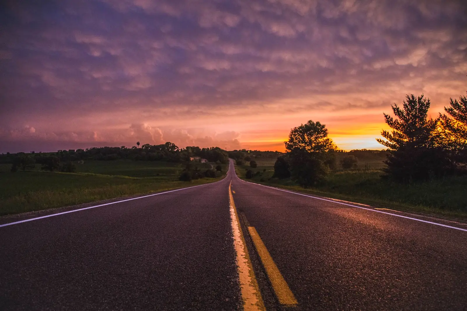
The Trans-Canada Highway, in four decisions
- Decide if you're doing the "full" coast-to-coast or the mainland version — the true ends are island terminals (Vancouver Island and Newfoundland) that both require a ferry booking; most road trips actually drive Halifax-to-Vancouver on the mainland network.
- Expect long two-lane stretches, not freeway the whole way — Northern Ontario and much of the Prairies-to-Rockies run are still two-lane in long sections, even as provinces widen pieces of it.
- Book the Marine Atlantic ferry to Newfoundland ahead of time — it's a roughly seven-hour Cabot Strait crossing, not a spontaneous drive-on, especially in summer.
- Budget weeks, not days — a genuine cross-country drive at this scale is closer to a month than a two-week vacation once you add any of the marquee side trips.
What a Trans-Canada Highway road trip actually is
The Trans-Canada Highway isn't a single numbered road the way Route 66 was — it's a designated national system built under the 1949 Trans-Canada Highway Act, with the federal and provincial governments sharing construction costs on a route each province built and numbered on its own. Construction started in 1950, and Prime Minister John Diefenbaker officially opened the highway at a ceremony on Rogers Pass in what's now Glacier National Park, British Columbia, on September 3, 1962 — even though, per Transport Canada's own Trans-Canada Highway backgrounder (last modified October 2025), the route wasn't substantially finished until 1971. The system passes through all ten provinces — it doesn't reach Yukon, the Northwest Territories, or Nunavut — and its identity on the ground is a shared green highway shield with a maple leaf, slapped onto whatever the local highway happens to be numbered.
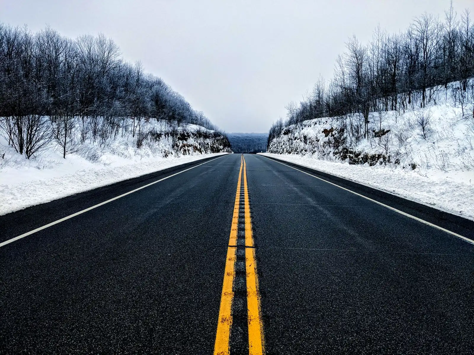
That "system, not a road" reality matters for planning. In British Columbia, Alberta, Saskatchewan, and Manitoba it's simply Highway 1. East of there it becomes Ontario Highway 17 or 11, Quebec's Autoroutes 20, 40, and 85, New Brunswick's Route 2, Nova Scotia's Highways 104 and 105, and Newfoundland's Route 1 — with a ferry in the middle that no highway number can paper over. Both ends also claim their own "Mile 0": Victoria's monument sits at Beacon Hill Park, and St. John's has adopted the same designation for its own end of the line, even though — as multiple sources note — there's no single nationally sanctioned starting point for the whole system. Treat that as trivia, not a technicality that changes your plan.
The Trans-Canada Highway route, region by region
Nobody drives this in one straight shot without a reason to; most people pick a region, or plan the whole crossing as a sequence of very different driving days. Here's what each stretch actually feels like:
| Region | Local route | Character |
|---|---|---|
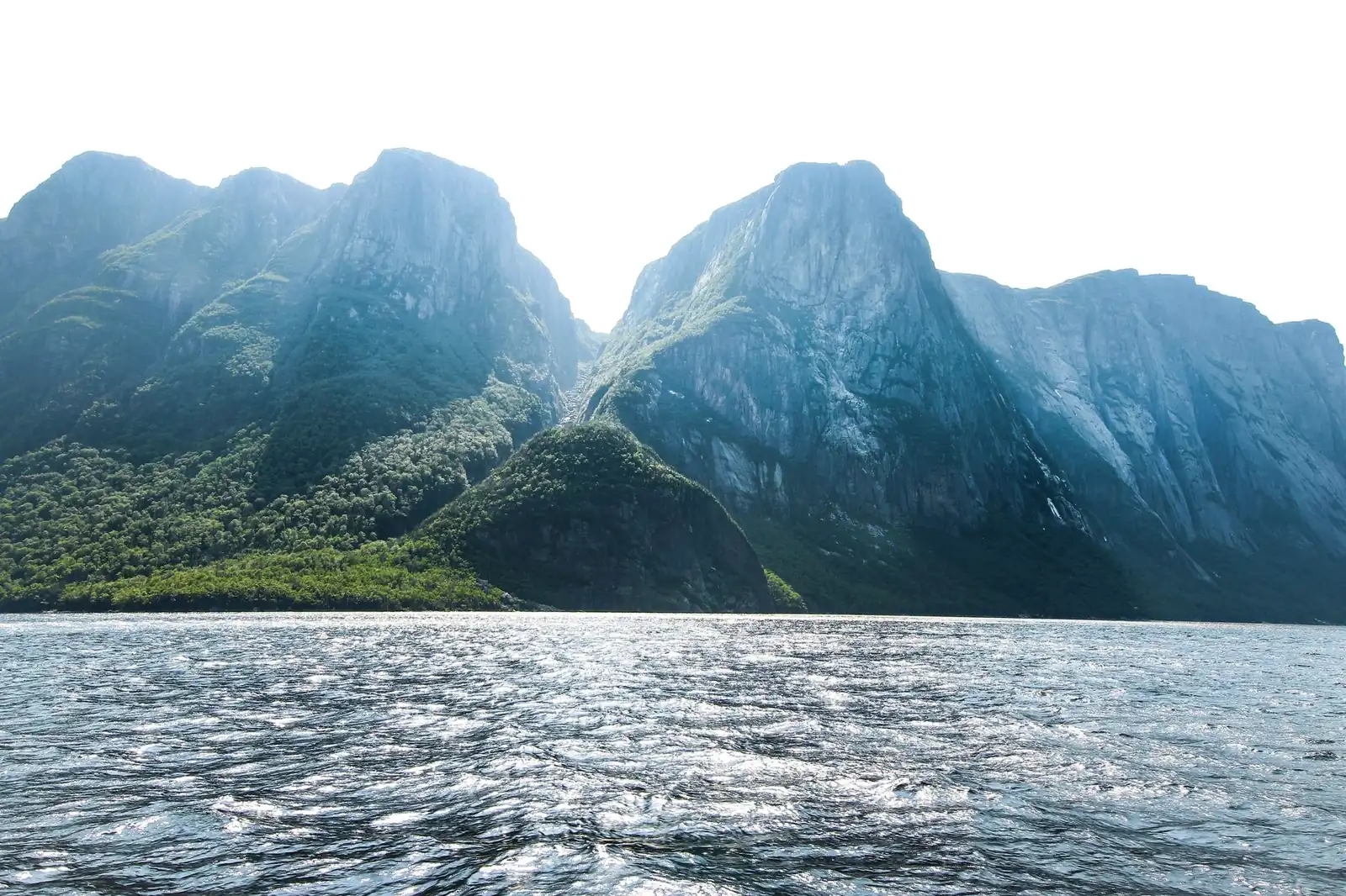
| Newfoundland | NL Route 1 | St. John's to Port aux Basques, with Gros Morne National Park as the marquee detour off the highway; open moorland, fishing towns, and among the highest moose densities in the country |
| Cabot Strait ferry | Marine Atlantic (North Sydney, NS ↔ Port aux Basques, NL) | The only way to connect Newfoundland's road network to the mainland — not optional, and not a bridge |
| Nova Scotia & New Brunswick | NS Highways 104/105, NB Route 2 | Freeway-grade through New Brunswick's interior cities (Moncton, Fredericton, Edmundston); Nova Scotia's stretch passes near Baddeck, the anchor town for the Cabot Trail loop around Cape Breton, a worthwhile detour rather than a drive-through |
| Quebec | Autoroutes 20, 40, 85 | The busiest, most urban stretch of the whole system — multi-lane autoroute through or around Quebec City and Montreal, a real contrast with the rural miles on either side |
| Ontario | Highway 17 (or 11) north of Lake Superior, Highway 401 near Toronto | Ontario alone runs roughly a quarter of the whole crossing. The north-shore stretch through Wawa, Sault Ste. Marie, and Thunder Bay is the same corridor this blog's Lake Superior Circle Tour guide covers in detail — long, sparsely served, and genuinely scenic; the southern Highway 401 alternative near Toronto trades scenery for speed and services |
| Prairies | Highway 1 (Manitoba, Saskatchewan, Alberta) | Flat, fast, and straight for long stretches — wheat country, wind farms, and towns spaced for fuel rather than sightseeing, with a time-zone change or two along the way |
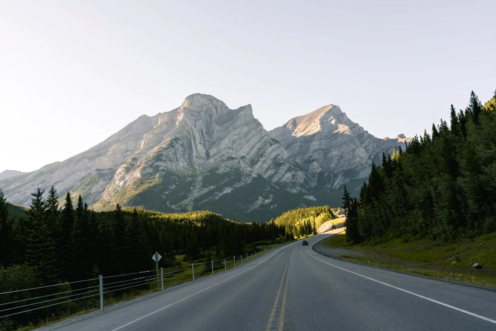
| Rockies & interior BC | Highway 1 | Calgary to Banff and Lake Louise, where Highway 93N splits off toward Jasper as the Icefields Parkway; then Kicking Horse Pass, Rogers Pass (site of the 1962 opening ceremony, and still an active avalanche-control zone in winter), Revelstoke, and the Fraser Canyon toward the coast |
| To Victoria | Highway 1 to Tsawwassen, then BC Ferries, then Highway 17 | The "true" western end isn't on the mainland at all — reaching Victoria's Mile 0 means a scheduled ferry crossing to Vancouver Island, the same kind of hard stop Newfoundland imposes on the other coast |
The upshot: the mainland run from roughly Halifax or Moncton to Vancouver is a genuinely continuous drive with no water gaps, which is why a lot of "coast to coast" trips quietly mean that stretch rather than the full island-to-island version. Deciding which one you're actually doing changes your ferry bookings, your day count, and your budget before a single kilometre is driven.
The Trans-Canada Highway's Newfoundland ferry — and the PEI loop, if you want it
Marine Atlantic runs the year-round Cabot Strait crossing between North Sydney, Nova Scotia, and Port aux Basques, Newfoundland, at roughly seven hours per the operator's own sailing schedule page, with departure frequency varying by season — more sailings in summer, fewer in the off-season. That page also warns, in its own words, that schedules are subject to change and shouldn't be treated as real-time, so check Marine Atlantic's booking engine directly for your dates rather than planning around a screenshot; this is a reservation-and-vehicle-deck operation, not a walk-on service, and summer sailings sell out.
Prince Edward Island isn't on the Trans-Canada mainline at all, but it has its own designated alternate loop: PEI Route 1 carries the Trans-Canada designation across the 13-km Confederation Bridge at Borden-Carleton, through Charlottetown's outskirts, and back to the mainland via the Wood Islands–Caribou seasonal ferry to Nova Scotia. It's a genuine detour, not a shortcut — budget an extra day or two if PEI's red-sand beaches and seafood are worth it to you, and check current Northumberland Ferries sailing dates before relying on the Wood Islands crossing, since that route runs seasonally rather than year-round.
When to drive the Trans-Canada Highway — and why it stays open year-round
The Trans-Canada Highway doesn't close for winter — it's Canada's primary interprovincial freight corridor, and provinces keep it plowed and maintained year-round. That doesn't make winter driving here casual: the Rockies section through Rogers Pass sits inside one of the most active avalanche-control zones on the continent, with periodic short closures for control work in winter, and the Prairies and Northern Ontario both see whiteout conditions and black ice that a summer driver won't be prepared for. Most people still plan the crossing for roughly May through September, not because the road demands it, but because the things worth stopping for — the Icefields Parkway, Gros Morne's trails, Cabot Trail lodging, PEI's beaches, Rogers Pass's own hiking — are seasonal even when the highway underneath them isn't. June through October is peak moose-collision season on the Newfoundland stretch specifically, with dusk and dawn the highest-risk hours regardless of month — slow down and watch the shoulders there more than anywhere else on the route.
How many days a Trans-Canada Highway road trip actually needs
A full Trans-Canada Highway road trip covers roughly double the driving distance of a Chicago-to-Santa-Monica Route 66 trip, so the honest pacing math has to stretch to match.
| Plan | What it buys |
|---|---|
| 10–14 days | A determined mainland crossing (Halifax or Moncton to Vancouver) at highway-mile pace, skipping almost every detour — a delivery drive, not a vacation |
| 3–4 weeks | An honest sightseeing pace through the mainland provinces with a handful of marquee stops (Quebec City, the Lake Superior north shore, Banff and Lake Louise), still without most of the side loops |
| 6–8 weeks or a full summer | The full island-to-island version with both ferries, plus real time on the Icefields Parkway, the Cabot Trail loop, Gros Morne, and PEI — the trip most people actually mean when they say they want to "drive across Canada" |
Whatever the total, use this blog's daily drive-time framework as your floor rather than trusting a straight-line kilometre count — the Prairies drive faster than the map suggests, and the Rockies, Northern Ontario, and Newfoundland all drive slower.
Fuel, lanes, and the practical layer of a Trans-Canada Highway road trip
It's mostly four-lane, but not everywhere
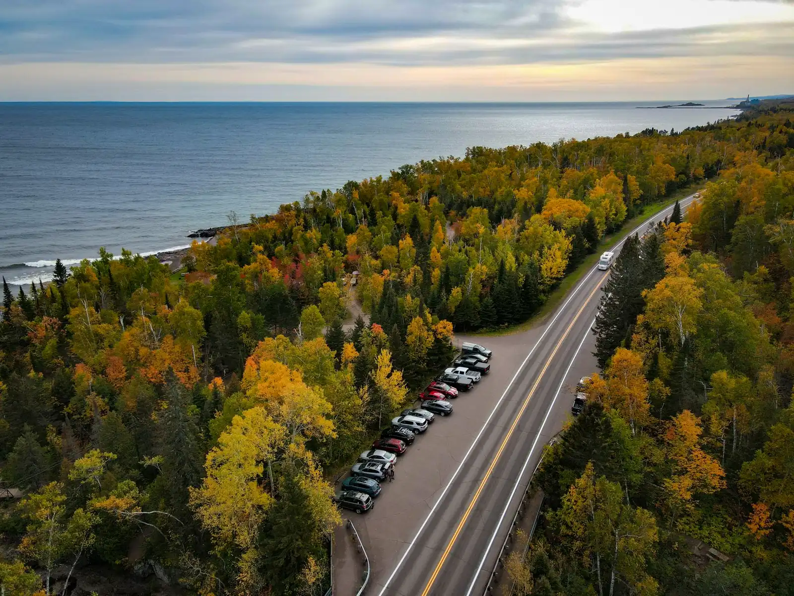
Big stretches of the Trans-Canada — the Prairies, most of the BC and Ontario freeway sections, all of New Brunswick's Route 2 — are divided four-lane highway. Northern Ontario is the well-known exception: per Ontario's own 2026 budget document (published March 26, 2026), the province is still in the middle of widening Highway 17 and Highway 11 from two to four lanes in specific segments — a stretch near Kenora and sections between Thunder Bay and Nipigon among them — which means much of the roughly thousand-kilometre run across Northern Ontario remains two-lane, shared with heavy truck traffic, well into the future. Budget extra time and passing patience there rather than expecting freeway speeds the whole way; check the province's own traffic and construction pages for your specific dates rather than assuming last year's map still applies.
Fuel, cell coverage, and EV charging
Fuel is rarely a real problem on the Trans-Canada the way it is on remote western US routes — towns are spaced closely enough on most of the system that a normal fuel-up rhythm works. The exceptions are the long Northern Ontario stretch and parts of Newfoundland, where towns thin out and a half-tank-trigger habit is worth adopting. Cell coverage follows the same pattern: reliable near cities and along the Prairies and southern Ontario corridor, patchy through Northern Ontario, the Rockies passes, and rural Newfoundland. EV charging has expanded along the corridor in recent years but is still uneven province to province — treat any charger you're counting on in Northern Ontario, rural New Brunswick, or Newfoundland the way you'd treat a fuel gap, with real margin, and check a current charging-network map rather than assuming coverage matches the highway's importance.
Currency, time zones, and the sheer scale
The crossing spans six time zones' worth of change if you count Newfoundland's unusual half-hour offset, which is easy to forget when you're doing drive-time math province to province. It's also a genuinely different kind of trip logistically from this blog's border-crossing routes — no passport is needed anywhere along the way, since the entire drive stays inside Canada, which frees up planning energy for the ferry bookings and lodging instead.
Trans-Canada Highway road trip FAQ
How long is the Trans-Canada Highway?
Sources commonly cite somewhere between roughly 7,800 and 8,000-plus km (about 4,860 to 4,990 miles) between Victoria, BC, and St. John's, NL, with the exact figure depending on which spur or measurement method is used. It's widely described as the world's longest national highway.
Is the Trans-Canada Highway one continuous road?
No. It's a system of provincial highways sharing a common designation and shield — Highway 1 in the west, Highway 17/11 in Ontario, Autoroutes in Quebec, Route 2 in New Brunswick, Highways 104/105 in Nova Scotia, and Route 1 in Newfoundland — connected by a mandatory ferry to reach Newfoundland at all.
Do you need a ferry to drive the full Trans-Canada Highway?
Yes, twice, if you drive the true island-to-island version: Marine Atlantic's roughly seven-hour Cabot Strait crossing to reach Newfoundland, and a BC Ferries crossing to reach Victoria's Mile 0 on Vancouver Island. Most "coast to coast" trips skip one or both and drive the continuous mainland network instead.
How many days does a Trans-Canada Highway road trip take?
Budget 10–14 days for a determined mainland-only crossing with few stops, 3–4 weeks for an honest sightseeing pace, or 6–8 weeks (or a full summer) to do the full island-to-island route with the Icefields Parkway, Cabot Trail, Gros Morne, and PEI included.
Turning this into your own Trans-Canada Highway road trip
Start by picking your scope — mainland-only or the full coast-to-coast with both ferries — since that single decision sets your day count more than anything else on this list. Book the Marine Atlantic crossing early if Newfoundland is in the plan, then sketch the route in the planner region by region rather than as one undifferentiated line across the country: the Prairies, the Rockies, Northern Ontario, and the Maritimes are different trips stitched into one highway, and treating them that way is what makes a drive this size feel like a series of good days instead of one very long one.